Summit night lights from space
Night Light of Summit (Washington) from space (United States) Src. Average luminocity for 10x10km area is 66.7991% and for 50x50km: 34.5366%.
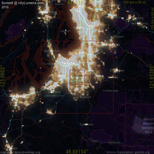
Analysis of Summit night lights 2016
Square area 10x10 km:
 9.38%
9.38%90-99
10.57%80-89
4.02%70-79
9.67%60-69
14.29%50-59
41.52%40-49
9.38%30-39
1.19%20-29
0%10-19
0%0-9
0%Square area 50x50 km:
7.83%90-99
6.91%80-89
2.86%70-79
4.85%60-69
5.97%50-59
6.23%40-49
4.08%30-39
3.9%20-29
6.1%10-19
9.29%0-9
41.99%Clear (daylight) street map image can be seen on geolist.org.
Map coordinates:
47° 38' 15.7" North, 123° 3' 36.7" West
47° 9' 42.4" North, 122° 21' 25.5" West
46° 40' 53.5" North, 121° 39' 14.2" West
Some cities around Summit sort by population:
• South Hill
7 km =4.3 mi,  109°
109°
• Puyallup
5.5 km =3.4 mi,  61°
61°
• Parkland
5.9 km =3.7 mi,  263°
263°
• Spanaway
8.7 km =5.4 mi,  222°
222°
• Frederickson
7.3 km =4.5 mi,  180°
180°
• Fife
8.6 km =5.3 mi,  0°
0°
• Midland
3.7 km =2.3 mi,  279°
279°
• Waller
4.4 km =2.7 mi,  347°
347°
5812505 (p: 7,985)
Sources (retrieved 2019-11-25):
» Earth at Night: Flat Maps 2012, 2016