Vineyard night lights from space
Night Light of Vineyard (California) from space (United States) Src. Average luminocity for 10x10km area is 61.7078% and for 50x50km: 34.2717%.
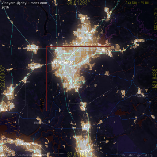
Analysis of Vineyard night lights 2016
Square area 10x10 km:
 6.82%
6.82%90-99
10.71%80-89
6.66%70-79
16.88%60-69
15.91%50-59
10.39%40-49
10.71%30-39
9.25%20-29
6.66%10-19
6.01%0-9
0%Square area 50x50 km:
8.04%90-99
9.06%80-89
4.2%70-79
5.98%60-69
4.74%50-59
2.95%40-49
2.7%30-39
2.67%20-29
3.92%10-19
7.16%0-9
48.58%Clear (daylight) street map image can be seen on geolist.org.
Map coordinates:
39° 0' 46.5" North, 122° 3' 0.2" West
38° 27' 52.2" North, 121° 20' 48.9" West
37° 54' 42.7" North, 120° 38' 37.7" West
Some cities around Vineyard sort by population:
• Elk Grove
6.6 km =4.1 mi,  199°
199°
• Florin
6.4 km =4 mi,  303°
303°
• Laguna
8.3 km =5.2 mi,  234°
234°
• Rosemont
9.8 km =6.1 mi,  350°
350°
• Parkway
10.4 km =6.5 mi,  289°
289°
• La Riviera
11.4 km =7.1 mi,  355°
355°
• Fruitridge Pocket
12.1 km =7.5 mi,  308°
308°
• Wilton
8.8 km =5.5 mi,  131°
131°
7176039 (p: 24,836)
Sources (retrieved 2019-11-25):
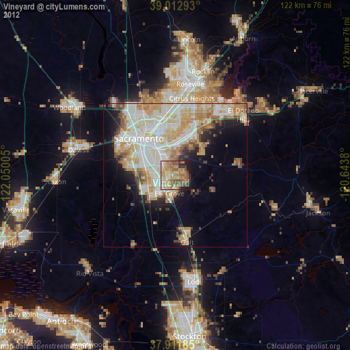
» Earth at Night: Flat Maps 2012, 2016