Florin night lights from space
Night Light of Florin (California) from space (United States) Src. Average luminocity for 10x10km area is 89.8604% and for 50x50km: 36.4421%.
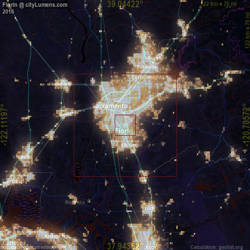
Analysis of Florin night lights 2016
Square area 10x10 km:
 32.31%
90-99
33.44%80-89
10.06%70-79
11.69%60-69
10.06%50-59
2.44%40-49
0%30-39
0%20-29
0%10-19
0%0-9
0%Square area 50x50 km:
8.36%90-99
9.55%80-89
4.56%70-79
6.49%60-69
5.26%50-59
3.17%40-49
2.59%30-39
3.07%20-29
4.35%10-19
7.09%0-9
45.52%Clear (daylight) street map image can be seen on geolist.org.
Map coordinates:
39° 2' 39.2" North, 122° 6' 43.1" West
38° 29' 45.7" North, 121° 24' 31.8" West
37° 56' 37" North, 120° 42' 20.6" West
Some cities around Florin sort by population:
• Elk Grove
10.2 km =6.3 mi,  161°
161°
• Arden-Arcade
12.1 km =7.5 mi,  12°
12°
• Laguna
8.4 km =5.2 mi,  188°
188°
• Vineyard
6.4 km =4 mi,  123°
123°
• Rosemont
7.3 km =4.5 mi,  31°
31°
• Parkway
4.4 km =2.7 mi,  270°
270°
• La Riviera
9.1 km =5.7 mi, 29°
• Fruitridge Pocket
5.8 km =3.6 mi,  314°
314°
5349613 (p: 47,513)
Sources (retrieved 2019-11-25):
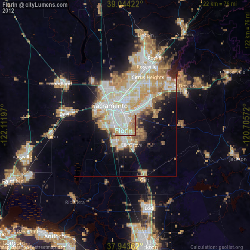
» Earth at Night: Flat Maps 2012, 2016