Elk Grove night lights from space
Night Light of Elk Grove (California) from space (United States) Src. Average luminocity for 10x10km area is 61.9042% and for 50x50km: 25.7497%.
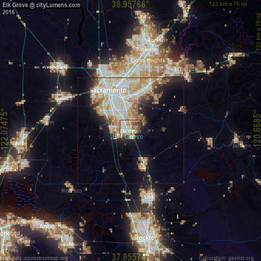
Analysis of Elk Grove night lights 2016
Square area 10x10 km:
 12.01%
90-99
17.21%80-89
6.82%70-79
10.39%60-69
8.6%50-59
8.44%40-49
5.03%30-39
8.28%20-29
11.53%10-19
10.06%0-9
1.62%Square area 50x50 km:
5.77%90-99
6.66%80-89
3.15%70-79
4.19%60-69
3.17%50-59
2.23%40-49
2.08%30-39
2.48%20-29
3.63%10-19
7.56%0-9
59.09%Clear (daylight) street map image can be seen on geolist.org.
Map coordinates:
38° 57' 27.6" North, 122° 4' 29.1" West
38° 24' 31.7" North, 121° 22' 17.8" West
37° 51' 20.7" North, 120° 40' 6.6" West
Some cities around Elk Grove sort by population:
• Florin
10.2 km =6.3 mi,  341°
341°
• Laguna
4.7 km =2.9 mi,  286°
286°
• Vineyard
6.6 km =4.1 mi,  19°
19°
• Rosemont
15.9 km =9.9 mi,  2°
2°
• Parkway
12.3 km =7.6 mi,  321°
321°
• La Riviera
17.6 km =10.9 mi, 4°
• Fruitridge Pocket
15.6 km =9.7 mi,  331°
331°
• Wilton
8.7 km =5.4 mi,  87°
87°
5346111 (p: 166,913)
Sources (retrieved 2019-11-25):
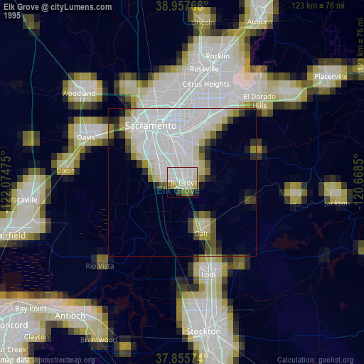
» NASA, Earths city lights 1995
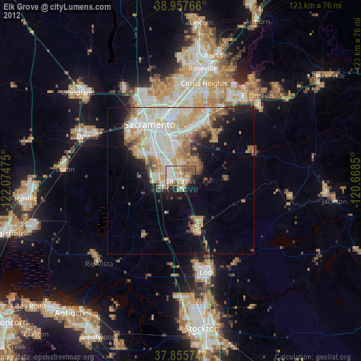
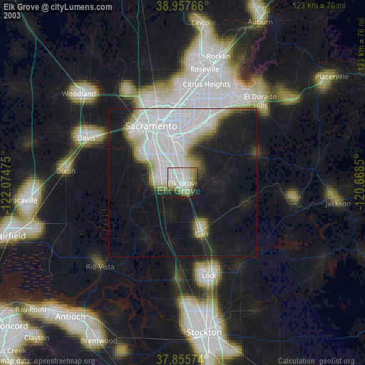
» NASA city lights 2003
» Earth at Night: Flat Maps 2012, 2016