Rosemont night lights from space
Night Light of Rosemont (California) from space (United States) Src. Average luminocity for 10x10km area is 83.0568% and for 50x50km: 41.2108%.
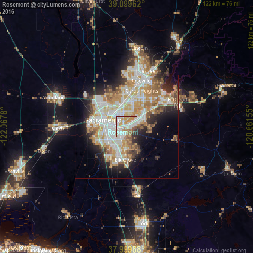
Analysis of Rosemont night lights 2016
Square area 10x10 km:
 25.49%
90-99
26.14%80-89
12.34%70-79
13.96%60-69
7.63%50-59
6.82%40-49
1.46%30-39
3.9%20-29
2.27%10-19
0%0-9
0%Square area 50x50 km:
9.38%90-99
10.56%80-89
4.92%70-79
7.32%60-69
6.15%50-59
3.87%40-49
3.21%30-39
3.54%20-29
5.58%10-19
8.46%0-9
36.99%Clear (daylight) street map image can be seen on geolist.org.
Map coordinates:
39° 5' 58.6" North, 122° 4' 4.1" West
38° 33' 6.7" North, 121° 21' 52.8" West
37° 59' 59.6" North, 120° 39' 41.6" West
Some cities around Rosemont sort by population:
• Arden-Arcade
5.8 km =3.6 mi,  347°
347°
• Rancho Cordova
6.8 km =4.2 mi,  52°
52°
• Carmichael
7.9 km =4.9 mi,  23°
23°
• Florin
7.3 km =4.5 mi,  211°
211°
• Vineyard
9.8 km =6.1 mi,  170°
170°
• Parkway
10.3 km =6.4 mi,  232°
232°
• La Riviera
1.8 km =1.1 mi, 22°
• Fruitridge Pocket
8.2 km =5.1 mi,  254°
254°
5388873 (p: 22,681)
Sources (retrieved 2019-11-25):
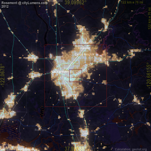
» Earth at Night: Flat Maps 2012, 2016