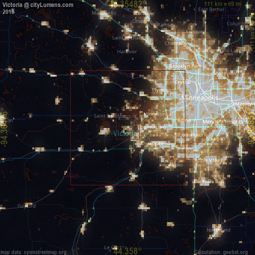
Victoria night lights from space
Night Light of Victoria (Minnesota) from space (United States) Src. Average luminocity for 10x10km area is 26.8778% and for 50x50km: 26.2994%.
Analysis of Victoria night lights 2016
Square area 10x10 km:
 1.27%
1.27%90-99
1.75%80-89
0.79%70-79
2.86%60-69
2.54%50-59
5.56%40-49
14.6%30-39
7.62%20-29
12.38%10-19
19.05%0-9
31.59%Square area 50x50 km:
4.2%90-99
4.57%80-89
3.39%70-79
3.77%60-69
5.37%50-59
5.4%40-49
3.92%30-39
2.71%20-29
3.96%10-19
6.3%0-9
56.41%Clear (daylight) street map image can be seen on geolist.org.
Map coordinates:
45° 21' 17.4" North, 94° 21' 53.1" West
44° 51' 30.9" North, 93° 39' 41.9" West
44° 21' 28.8" North, 92° 57' 30.6" West
Some cities around Victoria sort by population:
• Shakopee
12.6 km =7.8 mi,  122°
122°
• Chanhassen
10.3 km =6.4 mi,  87°
87°
• Chaska
9 km =5.6 mi,  148°
148°
• Waconia
9.9 km =6.2 mi,  264°
264°
• Mound
8.7 km =5.4 mi,  357°
357°
• Orono
13.3 km =8.3 mi,  19°
19°
• Shorewood
7.4 km =4.6 mi,  50°
50°
• Minnetrista
9.9 km =6.2 mi,  333°
333°
5051387 (p: 8,676)
Sources (retrieved 2019-11-25):
» Earth at Night: Flat Maps 2012, 2016