Chaska night lights from space
Night Light of Chaska (Minnesota) from space (United States) Src. Average luminocity for 10x10km area is 41.1439% and for 50x50km: 28.4613%.
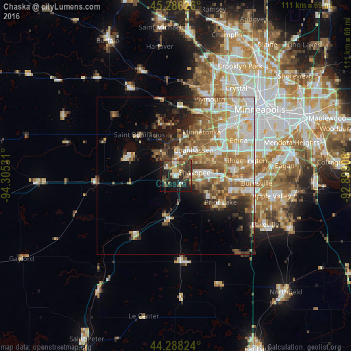
Analysis of Chaska night lights 2016
Square area 10x10 km:
 3.64%
3.64%90-99
5.15%80-89
5.76%70-79
5.76%60-69
5.61%50-59
6.52%40-49
12.88%30-39
10.61%20-29
14.7%10-19
22.88%0-9
6.52%Square area 50x50 km:
5.42%90-99
5.43%80-89
3.56%70-79
4.01%60-69
5.11%50-59
5.31%40-49
3.89%30-39
2.88%20-29
4.14%10-19
6.4%0-9
53.85%Clear (daylight) street map image can be seen on geolist.org.
Map coordinates:
45° 17' 10.5" North, 94° 18' 19.1" West
44° 47' 21.9" North, 93° 36' 7.8" West
44° 17' 17.7" North, 92° 53' 56.6" West
Some cities around Chaska sort by population:
• Eden Prairie
12.7 km =7.9 mi,  54°
54°
• Minnetonka
15.8 km =9.8 mi,  29°
29°
• Shakopee
6 km =3.7 mi,  80°
80°
• Chanhassen
9.9 km =6.2 mi, 34°
• Waconia
16.1 km =10 mi,  295°
295°
• Victoria
9 km =5.6 mi,  328°
328°
• Shorewood
12.4 km =7.7 mi,  4°
4°
• Jordan
13.8 km =8.6 mi,  188°
188°
5020938 (p: 25,199)
Sources (retrieved 2019-11-25):
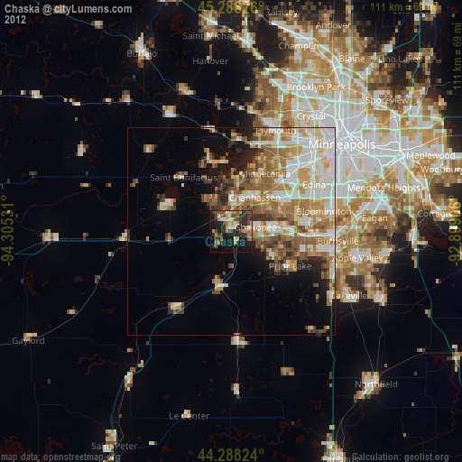
» Earth at Night: Flat Maps 2012, 2016