Chanhassen night lights from space
Night Light of Chanhassen (Minnesota) from space (United States) Src. Average luminocity for 10x10km area is 64.1111% and for 50x50km: 43.2545%.
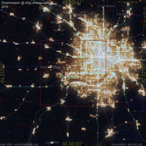
Analysis of Chanhassen night lights 2016
Square area 10x10 km:
 6.83%
6.83%90-99
7.14%80-89
8.57%70-79
10.48%60-69
14.76%50-59
32.22%40-49
14.44%30-39
5.24%20-29
0.32%10-19
0%0-9
0%Square area 50x50 km:
11.08%90-99
9.39%80-89
5.27%70-79
5.24%60-69
7.99%50-59
6.54%40-49
4.51%30-39
2.98%20-29
4.27%10-19
6.76%0-9
35.98%Clear (daylight) street map image can be seen on geolist.org.
Map coordinates:
45° 21' 30.3" North, 94° 14' 2.1" West
44° 51' 43.9" North, 93° 31' 50.8" West
44° 21' 41.9" North, 92° 49' 39.6" West
Some cities around Chanhassen sort by population:
• Eden Prairie
4.8 km =3 mi,  100°
100°
• Minnetonka
6.1 km =3.8 mi,  20°
20°
• Minnetonka Mills
11.2 km =7 mi,  38°
38°
• Shakopee
7.1 km =4.4 mi,  177°
177°
• Chaska
9.9 km =6.2 mi,  214°
214°
• Hopkins
8.8 km =5.5 mi, 37°
• Victoria
10.3 km =6.4 mi,  267°
267°
• Shorewood
6.3 km =3.9 mi,  313°
313°
5020881 (p: 25,332)
Sources (retrieved 2019-11-25):
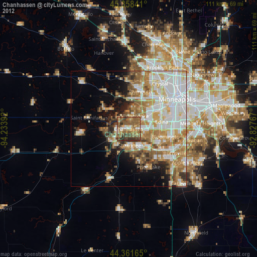
» Earth at Night: Flat Maps 2012, 2016