Victoria night lights from space
Night Light of Victoria (Texas) from space (United States) Src. Average luminocity for 10x10km area is 63.5057% and for 50x50km: 8.1776%.
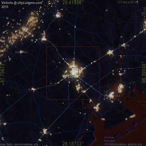
Analysis of Victoria night lights 2016
Square area 10x10 km:
 15.34%
90-99
16.29%80-89
10.23%70-79
5.49%60-69
6.82%50-59
6.25%40-49
7.95%30-39
9.85%20-29
18.75%10-19
3.03%0-9
0%Square area 50x50 km:
0.85%90-99
0.96%80-89
1.33%70-79
0.88%60-69
0.96%50-59
1.42%40-49
1.22%30-39
1.86%20-29
2.55%10-19
5.55%0-9
82.41%Clear (daylight) street map image can be seen on geolist.org.
Map coordinates:
29° 25' 10.4" North, 97° 42' 24.2" West
28° 48' 19" North, 97° 0' 13" West
28° 11' 14.4" North, 96° 18' 1.7" West
Some cities around Victoria sort by population:
• Beeville
85.6 km =53.2 mi,  238°
238°
• Port Lavaca
42.5 km =26.4 mi,  119°
119°
• El Campo
83.6 km =51.9 mi,  58°
58°
• Rockport
87.4 km =54.3 mi,  183°
183°
• Gonzales
88.9 km =55.2 mi,  330°
330°
• Cuero
42.4 km =26.3 mi,  319°
319°
• Yoakum
55.6 km =34.5 mi,  344°
344°
• Edna
39.8 km =24.7 mi, 61°
4739157 (p: 67,574)
Sources (retrieved 2019-11-25):
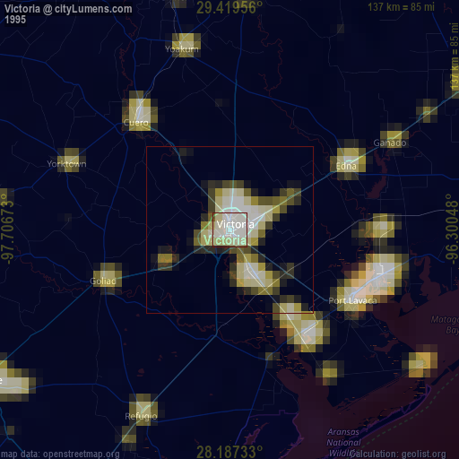
» NASA, Earths city lights 1995
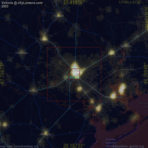
» NASA city lights 2003
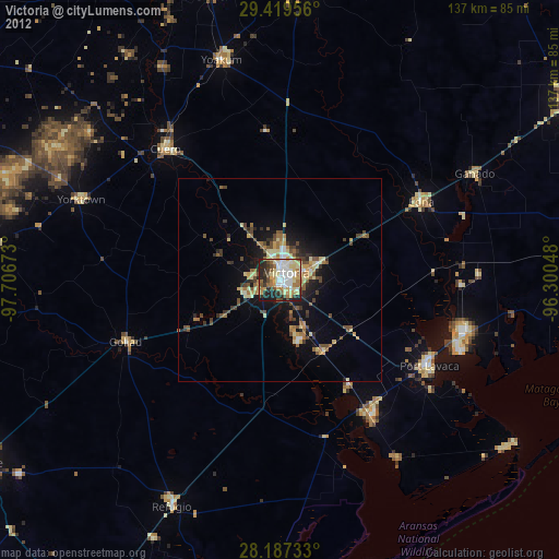
» Earth at Night: Flat Maps 2012, 2016