Vermillion night lights from space
Night Light of Vermillion (South Dakota) from space (United States) Src. Average luminocity for 10x10km area is 11.2803% and for 50x50km: 0.9841%.
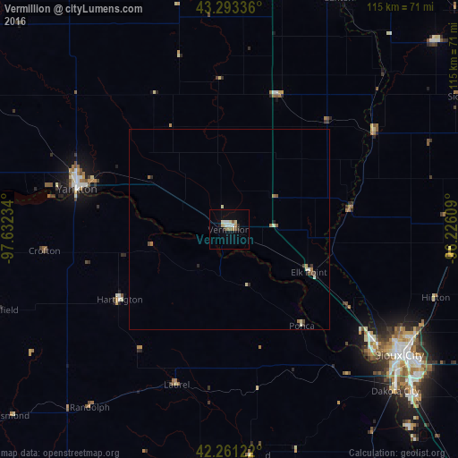
Analysis of Vermillion night lights 2016
Square area 10x10 km:
 1.36%
1.36%90-99
2.73%80-89
1.82%70-79
0.76%60-69
1.06%50-59
1.36%40-49
0.76%30-39
0.91%20-29
0.76%10-19
0.91%0-9
87.58%Square area 50x50 km:
0.07%90-99
0.19%80-89
0.18%70-79
0.06%60-69
0.17%50-59
0.16%40-49
0.14%30-39
0.09%20-29
0.12%10-19
0.11%0-9
98.7%Clear (daylight) street map image can be seen on geolist.org.
Map coordinates:
43° 17' 36.1" North, 97° 37' 56.4" West
42° 46' 46" North, 96° 55' 45.2" West
42° 15' 40.4" North, 96° 13' 33.9" West
Some cities around Vermillion sort by population:
• Sioux City
53.3 km =33.1 mi,  125°
125°
• Yankton
39.5 km =24.5 mi,  284°
284°
• South Sioux City
54.2 km =33.7 mi, 128°
• Le Mars
62.3 km =38.7 mi,  88°
88°
• Sioux Center
69.8 km =43.4 mi,  61°
61°
• Orange City
75.3 km =46.8 mi,  70°
70°
• Wayne
61.5 km =38.2 mi,  186°
186°
• Harrisburg
74.9 km =46.5 mi,  14°
14°
5232592 (p: 10,738)
Sources (retrieved 2019-11-25):
» Earth at Night: Flat Maps 2012, 2016