Sioux City night lights from space
Night Light of Sioux City (Iowa) from space (United States) Src. Average luminocity for 10x10km area is 74.5857% and for 50x50km: 8.8791%.
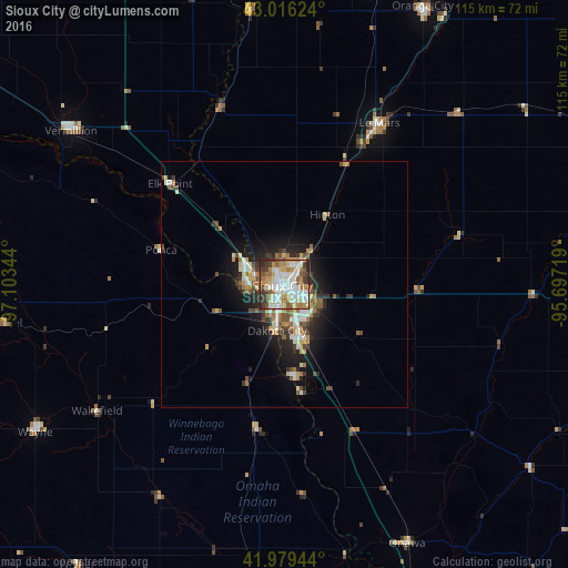
Analysis of Sioux City night lights 2016
Square area 10x10 km:
 20%
20%90-99
20.95%80-89
10.63%70-79
9.68%60-69
10.48%50-59
7.3%40-49
4.92%30-39
10.79%20-29
5.24%10-19
0%0-9
0%Square area 50x50 km:
1.45%90-99
1.62%80-89
0.9%70-79
1.23%60-69
1.33%50-59
1%40-49
1.22%30-39
1.37%20-29
2.2%10-19
5.01%0-9
82.68%Clear (daylight) street map image can be seen on geolist.org.
Map coordinates:
43° 0' 58.5" North, 97° 6' 12.4" West
42° 29' 60" North, 96° 24' 1.1" West
41° 58' 46" North, 95° 41' 49.9" West
Some cities around Sioux City sort by population:
• Yankton
91.3 km =56.7 mi,  296°
296°
• South Sioux City
3.1 km =1.9 mi,  200°
200°
• Vermillion
53.3 km =33.1 mi,  305°
305°
• Le Mars
37.9 km =23.5 mi,  30°
30°
• Orange City
62.9 km =39.1 mi, 26°
• Wayne
58.9 km =36.6 mi,  239°
239°
• Sheldon
87.8 km =54.6 mi, 30°
• Cherokee
74.8 km =46.5 mi,  68°
68°
4876523 (p: 82,821)
Sources (retrieved 2019-11-25):
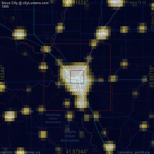
» NASA, Earths city lights 1995
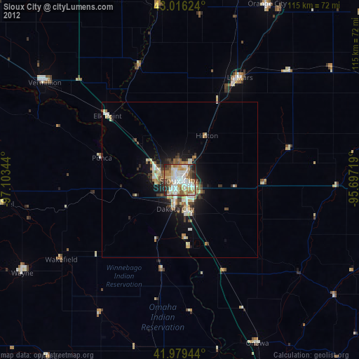
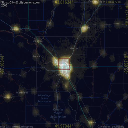
» NASA city lights 2003
» Earth at Night: Flat Maps 2012, 2016