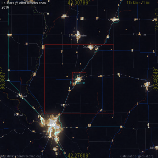
Le Mars night lights from space
Night Light of Le Mars (Iowa) from space (United States) Src. Average luminocity for 10x10km area is 18.6258% and for 50x50km: 2.0761%.
Analysis of Le Mars night lights 2016
Square area 10x10 km:
 1.67%
1.67%90-99
1.97%80-89
2.42%70-79
2.27%60-69
4.24%50-59
1.97%40-49
1.97%30-39
5.15%20-29
3.64%10-19
10.76%0-9
63.94%Square area 50x50 km:
0.16%90-99
0.19%80-89
0.33%70-79
0.19%60-69
0.44%50-59
0.29%40-49
0.26%30-39
0.39%20-29
0.26%10-19
1.03%0-9
96.47%Clear (daylight) street map image can be seen on geolist.org.
Map coordinates:
43° 18' 28.7" North, 96° 52' 7.4" West
42° 47' 39" North, 96° 9' 56.1" West
42° 16' 33.8" North, 95° 27' 44.9" West
Some cities around Le Mars sort by population:
• Sioux City
37.9 km =23.5 mi,  210°
210°
• South Sioux City
41 km =25.5 mi, 209°
• Storm Lake
79.9 km =49.6 mi,  102°
102°
• Vermillion
62.3 km =38.7 mi,  268°
268°
• Sioux Center
31.8 km =19.8 mi,  358°
358°
• Orange City
25.2 km =15.7 mi,  20°
20°
• Sheldon
49.8 km =30.9 mi,  30°
30°
• Cherokee
50.4 km =31.3 mi, 95°
4864337 (p: 9,761)
Sources (retrieved 2019-11-25):
» Earth at Night: Flat Maps 2012, 2016