South Sioux City night lights from space
Night Light of South Sioux City (Nebraska) from space (United States) Src. Average luminocity for 10x10km area is 72.6651% and for 50x50km: 8.8923%.
Analysis of South Sioux City night lights 2016
Square area 10x10 km:
 20.16%
90-99
21.11%80-89
7.46%70-79
7.14%60-69
13.02%50-59
7.94%40-49
6.51%30-39
8.57%20-29
5.08%10-19
3.02%0-9
0%Square area 50x50 km:
1.45%90-99
1.65%80-89
0.93%70-79
1.2%60-69
1.31%50-59
1%40-49
1.2%30-39
1.37%20-29
2.2%10-19
5.04%0-9
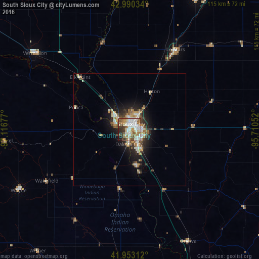
82.67%Clear (daylight) street map image can be seen on geolist.org.
Map coordinates:
42° 59' 25.2" North, 97° 7' 0.4" West
42° 28' 26" North, 96° 24' 49.1" West
41° 57' 11.2" North, 95° 42' 37.9" West
Some cities around South Sioux City sort by population:
• Sioux City
3.1 km =1.9 mi,  20°
20°
• Vermillion
54.2 km =33.7 mi,  308°
308°
• Le Mars
41 km =25.5 mi,  29°
29°
• Sioux Center
70.1 km =43.6 mi, 16°
• Orange City
66 km =41 mi, 26°
• Wayne
56.5 km =35.1 mi,  241°
241°
• Sheldon
90.8 km =56.4 mi, 30°
• Cherokee
76.9 km =47.8 mi,  66°
66°
5079250 (p: 13,319)
Sources (retrieved 2019-11-25):
» Earth at Night: Flat Maps 2012, 2016