Ventura night lights from space
Night Light of Ventura (California) from space (United States) Src. Average luminocity for 10x10km area is 37.7289% and for 50x50km: 14.8343%.
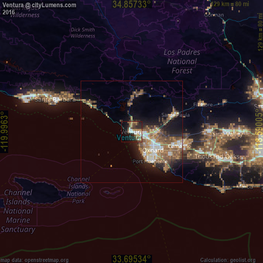
Analysis of Ventura night lights 2016
Square area 10x10 km:
 3.85%
3.85%90-99
7.88%80-89
2.01%70-79
6.41%60-69
7.33%50-59
5.13%40-49
7.88%30-39
4.21%20-29
14.65%10-19
17.95%0-9
22.71%Square area 50x50 km:
1.78%90-99
2.11%80-89
1.16%70-79
2.11%60-69
3.71%50-59
2.9%40-49
2.86%30-39
1.83%20-29
3.39%10-19
6.77%0-9
71.37%Clear (daylight) street map image can be seen on geolist.org.
Map coordinates:
34° 51' 26.4" North, 119° 59' 46.7" West
34° 16' 42" North, 119° 17' 35.4" West
33° 41' 43.2" North, 118° 35' 24.2" West
Some cities around Ventura sort by population:
• Oxnard
14 km =8.7 mi,  130°
130°
• Camarillo
24.5 km =15.2 mi,  106°
106°
• Santa Paula
23.1 km =14.4 mi,  68°
68°
• Port Hueneme
17.1 km =10.6 mi,  148°
148°
• Carpinteria
24.6 km =15.3 mi,  302°
302°
• Ojai
19.4 km =12.1 mi,  13°
13°
• El Rio
12.8 km =8 mi, 111°
• Mira Monte
17.3 km =10.7 mi,  2°
2°
5405878 (p: 96,769)
Sources (retrieved 2019-11-25):
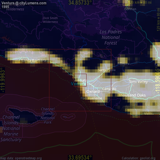
» NASA, Earths city lights 1995
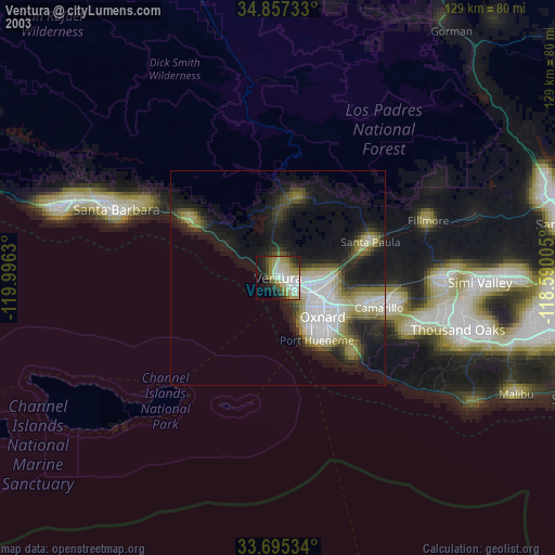
» NASA city lights 2003
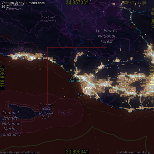
» Earth at Night: Flat Maps 2012, 2016