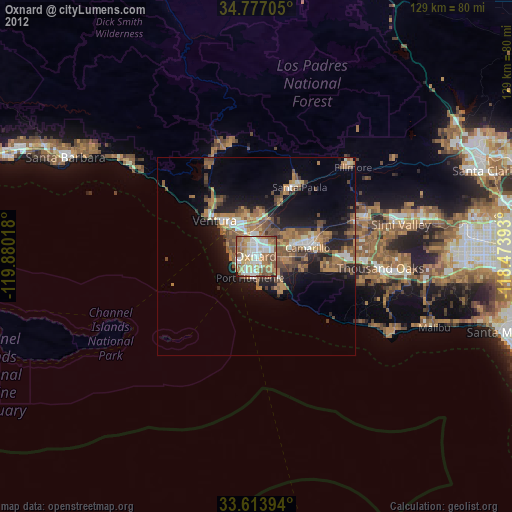
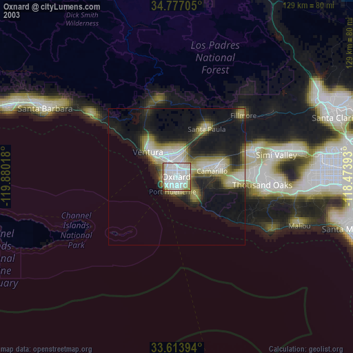
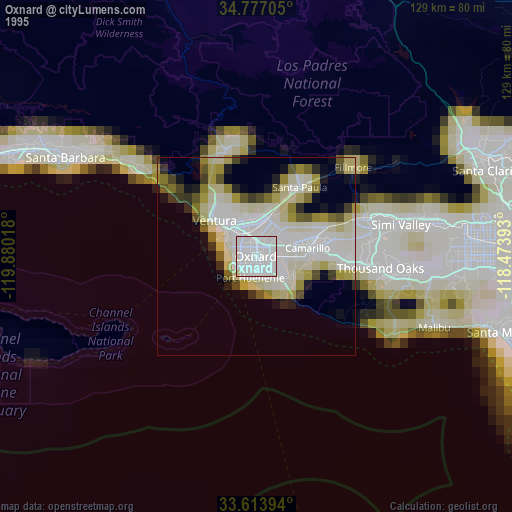
Oxnard night lights from space
Night Light of Oxnard (California) from space (United States) Src. Average luminocity for 10x10km area is 83.4158% and for 50x50km: 17.1298%.

Analysis of Oxnard night lights 2016
Square area 10x10 km:
 23.44%
90-99
22.89%80-89
12.45%70-79
15.02%60-69
19.78%50-59
5.86%40-49
0.18%30-39
0%20-29
0.37%10-19
0%0-9
0%Square area 50x50 km:
1.99%90-99
2.4%80-89
1.23%70-79
2.29%60-69
4.22%50-59
3.11%40-49
3.64%30-39
2.79%20-29
4.3%10-19
8.78%0-9
65.24%Clear (daylight) street map image can be seen on geolist.org.
Map coordinates:
34° 46' 37.4" North, 119° 52' 48.6" West
34° 11' 51" North, 119° 10' 37.4" West
33° 36' 50.2" North, 118° 28' 26.1" West
Some cities around Oxnard sort by population:
• Ventura
14 km =8.7 mi,  310°
310°
• Camarillo
13 km =8.1 mi,  80°
80°
• Moorpark
28.8 km =17.9 mi,  70°
70°
• Santa Paula
20.5 km =12.7 mi,  31°
31°
• Port Hueneme
5.8 km =3.6 mi,  196°
196°
• Ojai
28.5 km =17.7 mi,  347°
347°
• El Rio
4.4 km =2.7 mi,  15°
15°
• Mira Monte
28.1 km =17.5 mi,  339°
339°
5380184 (p: 207,254)
Sources (retrieved 2019-11-25):
» NASA, Earths city lights 1995
» NASA city lights 2003
» Earth at Night: Flat Maps 2012, 2016