Santa Paula night lights from space
Night Light of Santa Paula (California) from space (United States) Src. Average luminocity for 10x10km area is 21.2546% and for 50x50km: 21.945%.
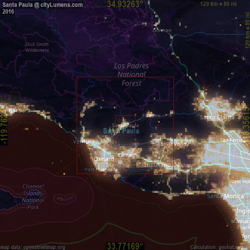
Analysis of Santa Paula night lights 2016
Square area 10x10 km:
 2.01%
2.01%90-99
1.83%80-89
1.65%70-79
2.38%60-69
4.95%50-59
2.56%40-49
4.21%30-39
6.41%20-29
1.83%10-19
19.23%0-9
52.93%Square area 50x50 km:
2.29%90-99
2.89%80-89
1.61%70-79
2.91%60-69
5.79%50-59
5.27%40-49
5.23%30-39
3.73%20-29
4.68%10-19
8.6%0-9
57%Clear (daylight) street map image can be seen on geolist.org.
Map coordinates:
34° 55' 57.5" North, 119° 45' 44.6" West
34° 21' 15" North, 119° 3' 33.4" West
33° 46' 18.1" North, 118° 21' 22.1" West
Some cities around Santa Paula sort by population:
• Oxnard
20.5 km =12.7 mi,  211°
211°
• Ventura
23.1 km =14.4 mi,  248°
248°
• Camarillo
15.4 km =9.6 mi,  172°
172°
• Moorpark
18 km =11.2 mi,  115°
115°
• Fillmore
13.9 km =8.6 mi,  68°
68°
• Ojai
19.8 km =12.3 mi,  301°
301°
• El Rio
16.3 km =10.1 mi,  216°
216°
• Mira Monte
22.5 km =14 mi,  293°
293°
5393245 (p: 30,546)
Sources (retrieved 2019-11-25):
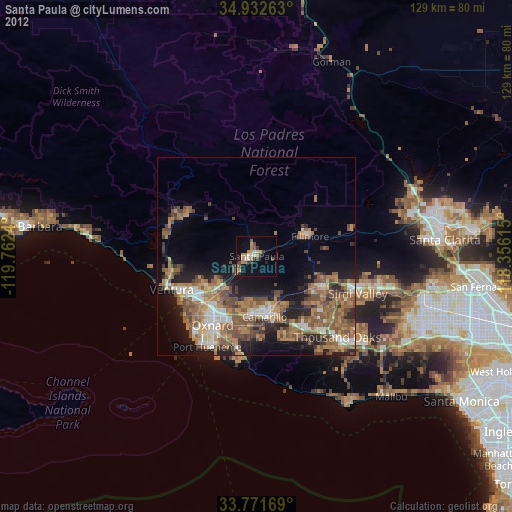
» Earth at Night: Flat Maps 2012, 2016