Camarillo night lights from space
Night Light of Camarillo (California) from space (United States) Src. Average luminocity for 10x10km area is 64.511% and for 50x50km: 24.7622%.
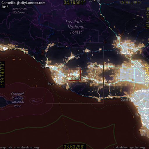
Analysis of Camarillo night lights 2016
Square area 10x10 km:
 10.26%
90-99
10.07%80-89
4.95%70-79
11.72%60-69
17.58%50-59
17.95%40-49
15.57%30-39
6.78%20-29
4.95%10-19
0.18%0-9
0%Square area 50x50 km:
2.47%90-99
3.12%80-89
1.67%70-79
3.16%60-69
6.64%50-59
5.77%40-49
5.9%30-39
4.27%20-29
5.75%10-19
11.14%0-9
50.12%Clear (daylight) street map image can be seen on geolist.org.
Map coordinates:
34° 47' 44.9" North, 119° 44' 26.6" West
34° 12' 59" North, 119° 2' 15.4" West
33° 37' 58.7" North, 118° 20' 4.1" West
Some cities around Camarillo sort by population:
• Oxnard
13 km =8.1 mi,  260°
260°
• Thousand Oaks
19.1 km =11.9 mi,  105°
105°
• Moorpark
16.2 km =10.1 mi,  61°
61°
• Santa Paula
15.4 km =9.6 mi,  352°
352°
• Port Hueneme
16.4 km =10.2 mi,  242°
242°
• Fillmore
23.1 km =14.4 mi,  28°
28°
• Westlake Village
22.7 km =14.1 mi, 110°
• El Rio
11.8 km =7.3 mi,  280°
280°
5333180 (p: 67,608)
Sources (retrieved 2019-11-25):
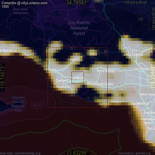
» NASA, Earths city lights 1995
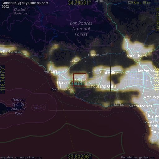
» NASA city lights 2003
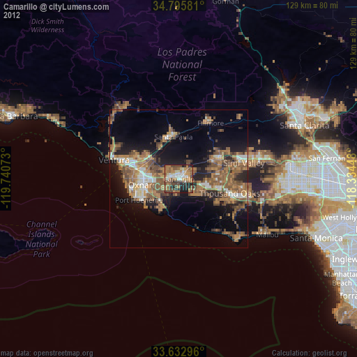
» Earth at Night: Flat Maps 2012, 2016