Vacaville night lights from space
Night Light of Vacaville (California) from space (United States) Src. Average luminocity for 10x10km area is 53.2636% and for 50x50km: 12.6713%.
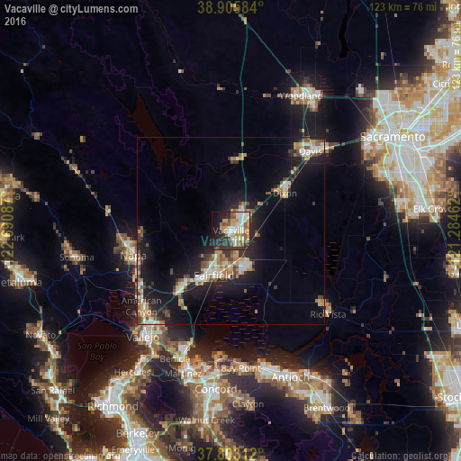
Analysis of Vacaville night lights 2016
Square area 10x10 km:
 10.03%
90-99
11.39%80-89
5.1%70-79
11.9%60-69
6.29%50-59
7.31%40-49
6.12%30-39
5.78%20-29
14.97%10-19
14.8%0-9
6.29%Square area 50x50 km:
1.73%90-99
1.74%80-89
0.96%70-79
2.43%60-69
1.52%50-59
1.66%40-49
2.04%30-39
1.61%20-29
3.83%10-19
10.63%0-9
71.86%Clear (daylight) street map image can be seen on geolist.org.
Map coordinates:
38° 54' 21" North, 122° 41' 27.1" West
38° 21' 23.7" North, 121° 59' 15.9" West
37° 48' 11.2" North, 121° 17' 4.6" West
Some cities around Vacaville sort by population:
• Fairfield
12.8 km =8 mi,  200°
200°
• Napa
26.8 km =16.7 mi,  255°
255°
• Davis
30 km =18.6 mi,  45°
45°
• Suisun
13.9 km =8.6 mi, 199°
• American Canyon
31.2 km =19.4 mi,  229°
229°
• Dixon
17.4 km =10.8 mi,  55°
55°
• Rio Vista
33.3 km =20.7 mi,  130°
130°
• Winters
18.8 km =11.7 mi,  4°
4°
5405228 (p: 96,803)
Sources (retrieved 2019-11-25):
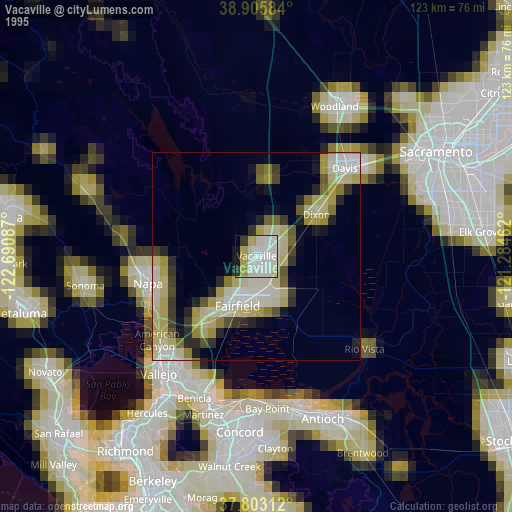
» NASA, Earths city lights 1995
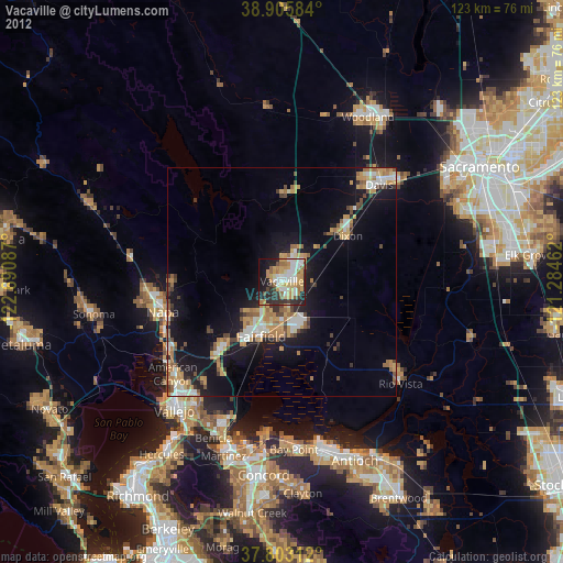
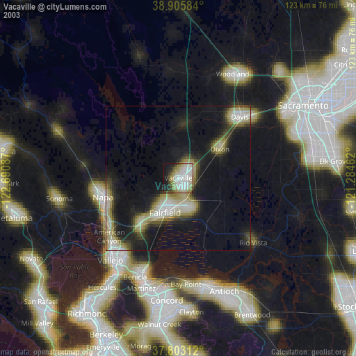
» NASA city lights 2003
» Earth at Night: Flat Maps 2012, 2016