Napa night lights from space
Night Light of Napa (California) from space (United States) Src. Average luminocity for 10x10km area is 36.8741% and for 50x50km: 11.9653%.
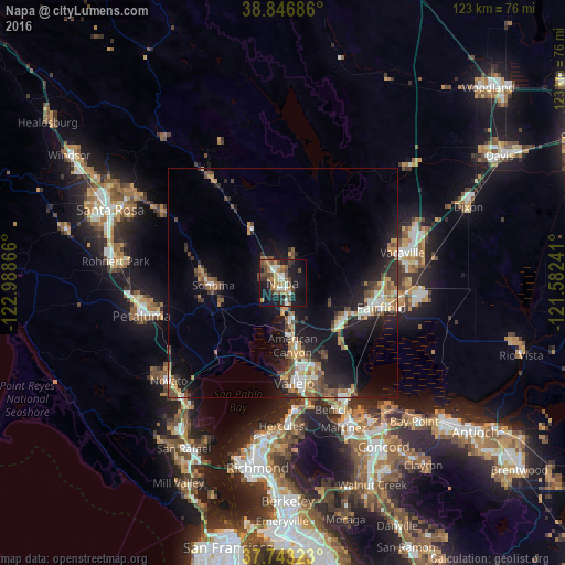
Analysis of Napa night lights 2016
Square area 10x10 km:
 4.42%
4.42%90-99
6.12%80-89
0.85%70-79
5.1%60-69
7.65%50-59
5.27%40-49
12.41%30-39
3.57%20-29
6.63%10-19
35.03%0-9
12.93%Square area 50x50 km:
1.33%90-99
1.37%80-89
0.8%70-79
1.86%60-69
1.83%50-59
2%40-49
2.36%30-39
1.63%20-29
3.48%10-19
10.96%0-9
72.39%Clear (daylight) street map image can be seen on geolist.org.
Map coordinates:
38° 50' 48.7" North, 122° 59' 19.2" West
38° 17' 49.7" North, 122° 17' 7.9" West
37° 44' 35.6" North, 121° 34' 56.7" West
Some cities around Napa sort by population:
• Vallejo
21.6 km =13.4 mi,  173°
173°
• Fairfield
22.1 km =13.7 mi,  103°
103°
• Vacaville
26.8 km =16.7 mi,  75°
75°
• Suisun
22.4 km =13.9 mi,  107°
107°
• American Canyon
13.8 km =8.6 mi, 170°
• Sonoma
15.1 km =9.4 mi,  267°
267°
• Boyes Hot Springs
17.2 km =10.7 mi,  276°
276°
• Saint Helena
28.2 km =17.5 mi,  325°
325°
5376095 (p: 80,434)
Sources (retrieved 2019-11-25):
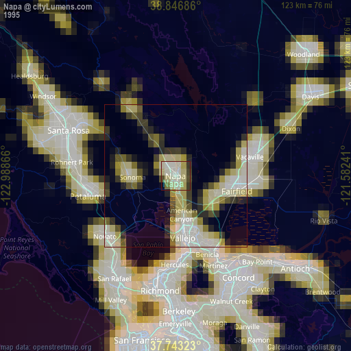
» NASA, Earths city lights 1995
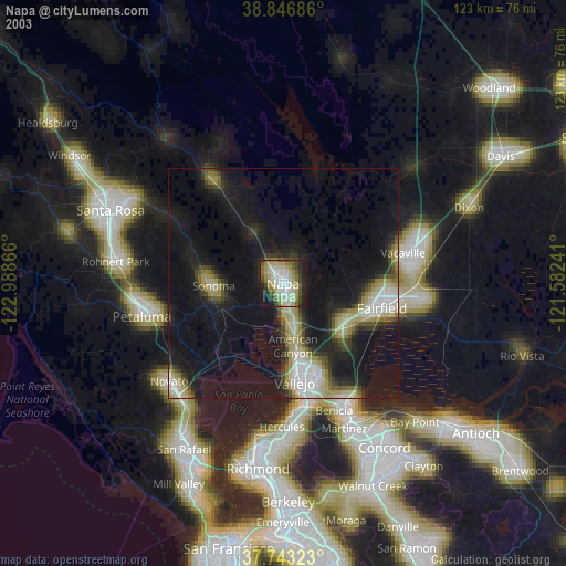
» NASA city lights 2003
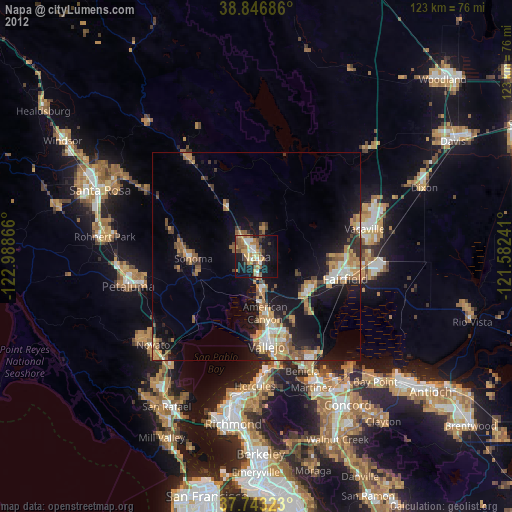
» Earth at Night: Flat Maps 2012, 2016