American Canyon night lights from space
Night Light of American Canyon (California) from space (United States) Src. Average luminocity for 10x10km area is 34.801% and for 50x50km: 23.226%.
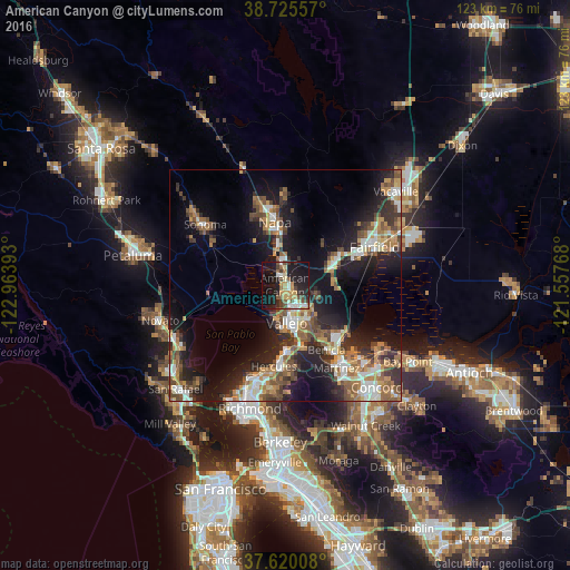
Analysis of American Canyon night lights 2016
Square area 10x10 km:
 4.42%
4.42%90-99
3.74%80-89
4.59%70-79
7.48%60-69
2.55%50-59
4.25%40-49
6.97%30-39
2.55%20-29
14.63%10-19
34.52%0-9
14.29%Square area 50x50 km:
3.26%90-99
3.26%80-89
1.64%70-79
3.81%60-69
3.75%50-59
3.88%40-49
4.19%30-39
3.56%20-29
7.23%10-19
15.22%0-9
50.22%Clear (daylight) street map image can be seen on geolist.org.
Map coordinates:
38° 43' 32.1" North, 122° 57' 50.1" West
38° 10' 29.7" North, 122° 15' 38.9" West
37° 37' 12.3" North, 121° 33' 27.6" West
Some cities around American Canyon sort by population:
• Vallejo
7.9 km =4.9 mi,  177°
177°
• Napa
13.8 km =8.6 mi,  350°
350°
• Martinez
20.5 km =12.7 mi,  147°
147°
• Benicia
16.6 km =10.3 mi, 147°
• Suisun
20.5 km =12.7 mi,  69°
69°
• Hercules
17.7 km =11 mi,  187°
187°
• Pinole
19.3 km =12 mi, 189°
• Rodeo
15.8 km =9.8 mi, 181°
5323694 (p: 20,554)
Sources (retrieved 2019-11-25):
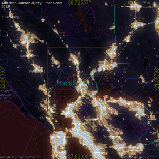
» Earth at Night: Flat Maps 2012, 2016