Utica night lights from space
Night Light of Utica (New York) from space (United States) Src. Average luminocity for 10x10km area is 64.3273% and for 50x50km: 8.6947%.
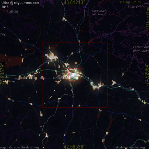


Analysis of Utica night lights 2016
Square area 10x10 km:
 17.73%
90-99
16.52%80-89
6.82%70-79
5.3%60-69
6.97%50-59
7.27%40-49
10.76%30-39
12.88%20-29
7.88%10-19
7.88%0-9
0%Square area 50x50 km:
1.38%90-99
1.4%80-89
0.88%70-79
0.83%60-69
0.9%50-59
1.12%40-49
1.26%30-39
1.31%20-29
2.18%10-19
7.19%0-9
81.55%Clear (daylight) street map image can be seen on geolist.org.
Map coordinates:
43° 36' 43.7" North, 75° 56' 8.8" West
43° 6' 3.2" North, 75° 13' 57.6" West
42° 35' 7.3" North, 74° 31' 46.3" West
Some cities around Utica sort by population:
• Rome
22 km =13.7 mi,  304°
304°
• Gloversville
72.4 km =45 mi,  94°
94°
• Oneida
34 km =21.1 mi,  268°
268°
• Johnstown
71.1 km =44.2 mi,  98°
98°
• Ilion
18.7 km =11.6 mi,  120°
120°
• Herkimer
21.7 km =13.5 mi,  112°
112°
• Norwich
67.6 km =42 mi,  200°
200°
• North Syracuse
72.9 km =45.3 mi, 272°
5142056 (p: 61,100)
Sources (retrieved 2019-11-25):
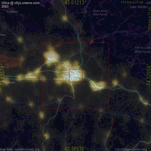
» NASA, Earths city lights 1995
» NASA city lights 2003
» Earth at Night: Flat Maps 2012, 2016