Herkimer night lights from space
Night Light of Herkimer (New York) from space (United States) Src. Average luminocity for 10x10km area is 18.9571% and for 50x50km: 5.1047%.
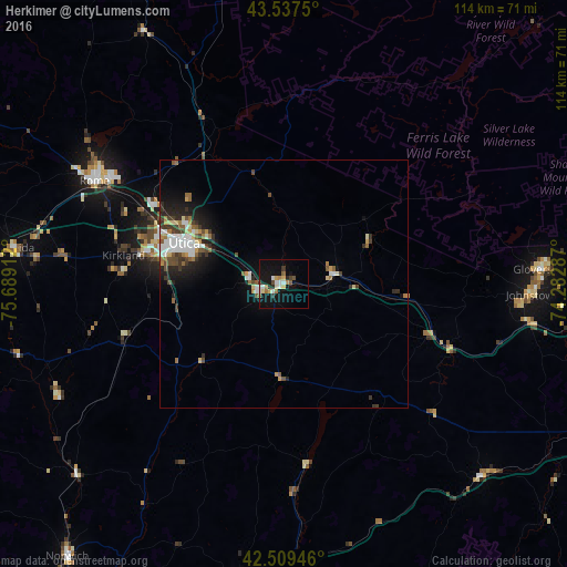
Analysis of Herkimer night lights 2016
Square area 10x10 km:
 2.54%
2.54%90-99
3.49%80-89
2.54%70-79
1.11%60-69
3.17%50-59
2.22%40-49
1.11%30-39
1.75%20-29
2.38%10-19
22.54%0-9
57.14%Square area 50x50 km:
0.9%90-99
0.88%80-89
0.49%70-79
0.44%60-69
0.63%50-59
0.68%40-49
0.69%30-39
0.87%20-29
1.21%10-19
3.16%0-9
90.04%Clear (daylight) street map image can be seen on geolist.org.
Map coordinates:
43° 32' 15" North, 75° 41' 20.8" West
43° 1' 32.3" North, 74° 59' 9.6" West
42° 30' 34.1" North, 74° 16' 58.3" West
Some cities around Herkimer sort by population:
• Utica
21.7 km =13.5 mi,  292°
292°
• Rome
43.4 km =27 mi,  298°
298°
• Amsterdam
65.6 km =40.8 mi,  98°
98°
• Gloversville
52.3 km =32.5 mi,  86°
86°
• Oneonta
64 km =39.8 mi,  185°
185°
• Oneida
54.6 km =33.9 mi,  277°
277°
• Johnstown
50.3 km =31.3 mi, 92°
• Ilion
4.2 km =2.6 mi,  253°
253°
5120545 (p: 7,519)
Sources (retrieved 2019-11-25):
» Earth at Night: Flat Maps 2012, 2016