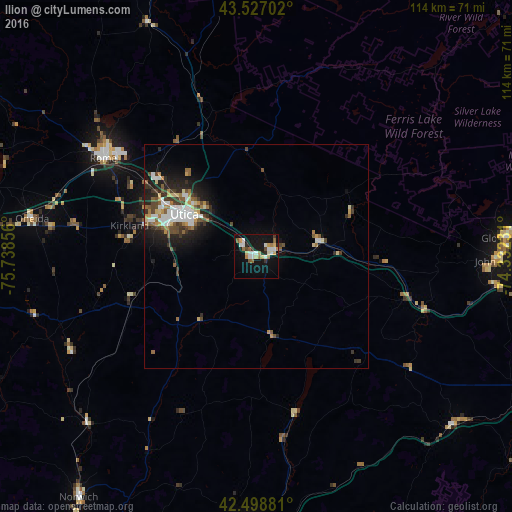
Ilion night lights from space
Night Light of Ilion (New York) from space (United States) Src. Average luminocity for 10x10km area is 25.3143% and for 50x50km: 6.2389%.
Analysis of Ilion night lights 2016
Square area 10x10 km:
 4.76%
4.76%90-99
4.44%80-89
3.17%70-79
2.38%60-69
3.81%50-59
3.02%40-49
1.27%30-39
1.43%20-29
3.02%10-19
26.67%0-9
46.03%Square area 50x50 km:
1.08%90-99
1.03%80-89
0.64%70-79
0.59%60-69
0.72%50-59
0.84%40-49
0.95%30-39
1.01%20-29
1.66%10-19
3.93%0-9
87.56%Clear (daylight) street map image can be seen on geolist.org.
Map coordinates:
43° 31' 37.3" North, 75° 44' 18.8" West
43° 0' 54.3" North, 75° 2' 7.5" West
42° 29' 55.7" North, 74° 19' 56.3" West
Some cities around Ilion sort by population:
• Utica
18.7 km =11.6 mi,  300°
300°
• Rome
40.6 km =25.2 mi, 302°
• Gloversville
56.4 km =35 mi,  85°
85°
• Oneonta
62.6 km =38.9 mi,  182°
182°
• Oneida
50.8 km =31.6 mi,  279°
279°
• Johnstown
54.3 km =33.7 mi, 90°
• Herkimer
4.2 km =2.6 mi,  73°
73°
• Norwich
66.9 km =41.6 mi,  216°
216°
5121765 (p: 7,926)
Sources (retrieved 2019-11-25):
» Earth at Night: Flat Maps 2012, 2016