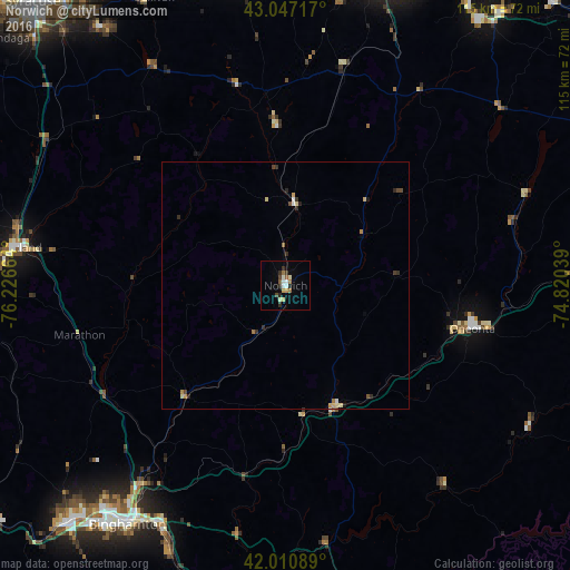
Norwich night lights from space
Night Light of Norwich (New York) from space (United States) Src. Average luminocity for 10x10km area is 12.1032% and for 50x50km: 1.1677%.
Analysis of Norwich night lights 2016
Square area 10x10 km:
 1.27%
1.27%90-99
2.38%80-89
1.9%70-79
0.79%60-69
1.75%50-59
1.43%40-49
1.27%30-39
1.75%20-29
2.06%10-19
0.79%0-9
84.6%Square area 50x50 km:
0.1%90-99
0.15%80-89
0.23%70-79
0.12%60-69
0.17%50-59
0.12%40-49
0.17%30-39
0.24%20-29
0.27%10-19
0.09%0-9
98.33%Clear (daylight) street map image can be seen on geolist.org.
Map coordinates:
43° 2' 49.8" North, 76° 13' 35.9" West
42° 31' 52.2" North, 75° 31' 24.6" West
42° 0' 39.2" North, 74° 49' 13.4" West
Some cities around Norwich sort by population:
• Binghamton
58 km =36 mi,  213°
213°
• Cortland
54.4 km =33.8 mi,  278°
278°
• Johnson City
58.4 km =36.3 mi,  217°
217°
• Oneonta
38.7 km =24 mi,  103°
103°
• Endicott
64.7 km =40.2 mi, 221°
• Endwell
61.9 km =38.5 mi, 221°
• Oneida
63.3 km =39.3 mi,  350°
350°
• Lakeview
30.1 km =18.7 mi,  248°
248°
5129359 (p: 6,968)
Sources (retrieved 2019-11-25):
» Earth at Night: Flat Maps 2012, 2016