Oneida night lights from space
Night Light of Oneida (New York) from space (United States) Src. Average luminocity for 10x10km area is 17.1773% and for 50x50km: 4.7225%.
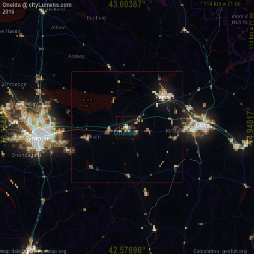
Analysis of Oneida night lights 2016
Square area 10x10 km:
 0.45%
0.45%90-99
2.12%80-89
2.88%70-79
1.97%60-69
2.27%50-59
3.64%40-49
2.88%30-39
2.88%20-29
2.58%10-19
4.09%0-9
74.24%Square area 50x50 km:
0.34%90-99
0.52%80-89
0.59%70-79
0.61%60-69
0.53%50-59
0.57%40-49
0.84%30-39
0.78%20-29
1.05%10-19
3.65%0-9
90.52%Clear (daylight) street map image can be seen on geolist.org.
Map coordinates:
43° 36' 13.9" North, 76° 21' 15.9" West
43° 5' 33.3" North, 75° 39' 4.6" West
42° 34' 37.1" North, 74° 56' 53.4" West
Some cities around Oneida sort by population:
• Syracuse
40.6 km =25.2 mi,  263°
263°
• Utica
34 km =21.1 mi,  88°
88°
• Rome
20.7 km =12.9 mi,  49°
49°
• Fairmount
48 km =29.8 mi, 263°
• Ilion
50.8 km =31.6 mi,  99°
99°
• North Syracuse
39.1 km =24.3 mi,  276°
276°
• Mattydale
40.1 km =24.9 mi,  270°
270°
• Solvay
45.3 km =28.1 mi, 265°
5129837 (p: 11,134)
Sources (retrieved 2019-11-25):
» Earth at Night: Flat Maps 2012, 2016