Rome night lights from space
Night Light of Rome (New York) from space (United States) Src. Average luminocity for 10x10km area is 35.8697% and for 50x50km: 8.6072%.
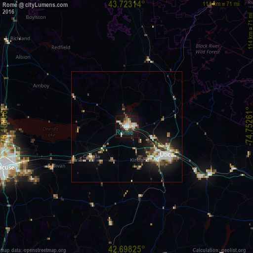
Analysis of Rome night lights 2016
Square area 10x10 km:
 7.27%
7.27%90-99
7.58%80-89
5.3%70-79
3.48%60-69
3.64%50-59
1.67%40-49
2.88%30-39
2.42%20-29
7.27%10-19
42.42%0-9
16.06%Square area 50x50 km:
1.21%90-99
1.28%80-89
0.93%70-79
0.9%60-69
0.91%50-59
1.21%40-49
1.44%30-39
1.39%20-29
2.19%10-19
6.31%0-9
82.23%Clear (daylight) street map image can be seen on geolist.org.
Map coordinates:
43° 43' 23.3" North, 76° 9' 31.9" West
43° 12' 46.3" North, 75° 27' 20.6" West
42° 41' 53.7" North, 74° 45' 9.4" West
Some cities around Rome sort by population:
• Syracuse
59 km =36.7 mi,  251°
251°
• Utica
22 km =13.7 mi,  124°
124°
• Oneida
20.7 km =12.9 mi,  229°
229°
• Ilion
40.6 km =25.2 mi, 122°
• Herkimer
43.4 km =27 mi, 118°
• North Syracuse
55.4 km =34.4 mi,  260°
260°
• Mattydale
57.4 km =35.7 mi, 257°
• Richland
62.1 km =38.6 mi,  309°
309°
5134295 (p: 32,573)
Sources (retrieved 2019-11-25):
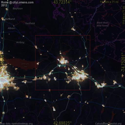
» Earth at Night: Flat Maps 2012, 2016