East Tremont night lights from space
Night Light of East Tremont (New York) from space (United States) Src. Average luminocity for 10x10km area is 97.9728% and for 50x50km: 84.0568%.
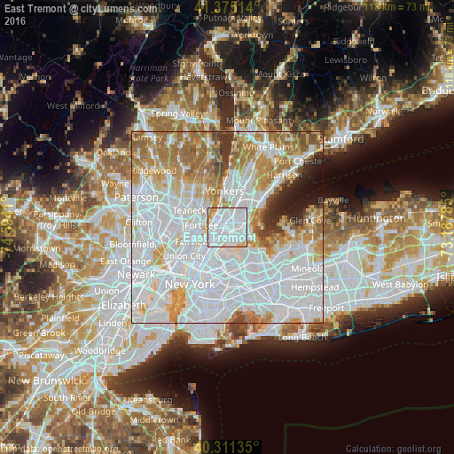
Analysis of East Tremont night lights 2016
Square area 10x10 km:
 70.41%
90-99
22.62%80-89
2.72%70-79
3.74%60-69
0.51%50-59
0%40-49
0%30-39
0%20-29
0%10-19
0%0-9
0%Square area 50x50 km:
43.83%90-99
17.93%80-89
6.28%70-79
8.38%60-69
10.03%50-59
3.98%40-49
2.16%30-39
2.05%20-29
2.19%10-19
2.59%0-9
0.59%Clear (daylight) street map image can be seen on geolist.org.
Map coordinates:
41° 22' 30.5" North, 74° 35' 38.8" West
40° 50' 43.4" North, 73° 53' 27.5" West
40° 18' 40.9" North, 73° 11' 16.3" West
Some cities around East Tremont sort by population:
• The Bronx
2.1 km =1.3 mi,  76°
76°
• Fordham
1.7 km =1.1 mi,  337°
337°
• Parkchester
2.7 km =1.7 mi,  105°
105°
• Morris Heights
2.5 km =1.6 mi,  281°
281°
• University Heights
2.2 km =1.4 mi,  316°
316°
• Van Nest
2.3 km =1.4 mi, 81°
• Morrisania
2.2 km =1.4 mi,  216°
216°
• Tremont
1.3 km =0.8 mi,  290°
290°
5116083 (p: 22,886)
Sources (retrieved 2019-11-25):
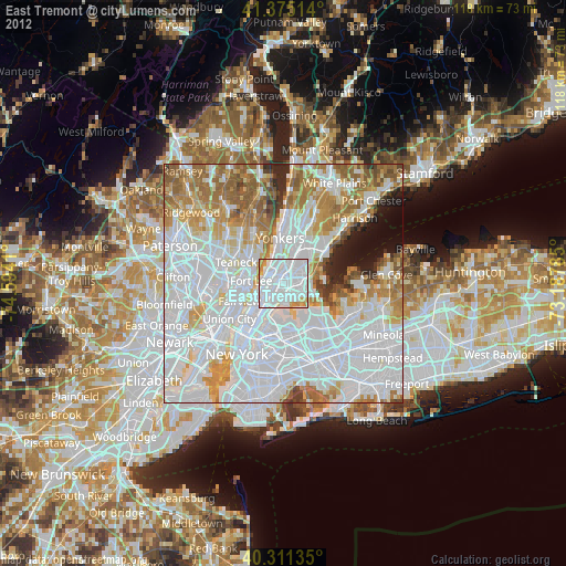
» Earth at Night: Flat Maps 2012, 2016