Union Hill-Novelty Hill night lights from space
Night Light of Union Hill-Novelty Hill (Washington) from space (United States) Src. Average luminocity for 10x10km area is 24.4137% and for 50x50km: 35.4741%.
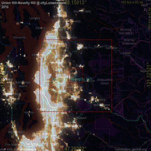
Analysis of Union Hill-Novelty Hill night lights 2016
Square area 10x10 km:
 1.64%
1.64%90-99
2.83%80-89
0.3%70-79
1.19%60-69
1.79%50-59
3.42%40-49
7.14%30-39
15.92%20-29
12.8%10-19
18.9%0-9
34.08%Square area 50x50 km:
9.86%90-99
8.03%80-89
2.88%70-79
4.68%60-69
5.95%50-59
4.09%40-49
4.59%30-39
4.37%20-29
3.47%10-19
4.99%0-9
47.09%Clear (daylight) street map image can be seen on geolist.org.
Map coordinates:
48° 9' 0.5" North, 122° 43' 53.3" West
47° 40' 43.9" North, 122° 1' 42" West
47° 12' 12" North, 121° 19' 30.8" West
Some cities around Union Hill-Novelty Hill sort by population:
• Redmond
7 km =4.3 mi,  265°
265°
• Sammamish
5.7 km =3.5 mi,  223°
223°
• City of Sammamish
8.3 km =5.2 mi,  184°
184°
• West Lake Sammamish
12.5 km =7.8 mi,  205°
205°
• Cottage Lake
8.1 km =5 mi,  333°
333°
• Kingsgate
12.5 km =7.8 mi,  295°
295°
• Klahanie
12.1 km =7.5 mi,  172°
172°
• Duvall
7.7 km =4.8 mi,  24°
24°
7262428 (p: 18,805)
Sources (retrieved 2019-11-25):
» Earth at Night: Flat Maps 2012, 2016