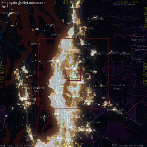
Kingsgate night lights from space
Night Light of Kingsgate (Washington) from space (United States) Src. Average luminocity for 10x10km area is 70.9137% and for 50x50km: 38.0403%.
Analysis of Kingsgate night lights 2016
Square area 10x10 km:
 13.84%
90-99
15.92%80-89
5.65%70-79
12.8%60-69
23.51%50-59
8.04%40-49
10.86%30-39
8.78%20-29
0.6%10-19
0%0-9
0%Square area 50x50 km:
10.24%90-99
8.62%80-89
2.98%70-79
4.82%60-69
6.35%50-59
4.21%40-49
4.81%30-39
4.84%20-29
5.25%10-19
7.69%0-9
40.19%Clear (daylight) street map image can be seen on geolist.org.
Map coordinates:
48° 11' 52.3" North, 122° 52' 57.7" West
47° 43' 37.3" North, 122° 10' 46.5" West
47° 15' 6.9" North, 121° 28' 35.2" West
Some cities around Kingsgate sort by population:
• Kirkland
5.5 km =3.4 mi,  203°
203°
• Redmond
7.3 km =4.5 mi,  143°
143°
• Bothell
4.4 km =2.7 mi,  333°
333°
• Inglewood-Finn Hill
4 km =2.5 mi,  259°
259°
• Cottage Lake
7.9 km =4.9 mi,  75°
75°
• Kenmore
5.9 km =3.7 mi,  304°
304°
• Lake Forest Park
8.3 km =5.2 mi,  293°
293°
• Woodinville
3.3 km =2.1 mi,  21°
21°
5799819 (p: 13,065)
Sources (retrieved 2019-11-25):
» Earth at Night: Flat Maps 2012, 2016