City of Sammamish night lights from space
Night Light of City of Sammamish (Washington) from space (United States) Src. Average luminocity for 10x10km area is 41.4034% and for 50x50km: 36.5185%.
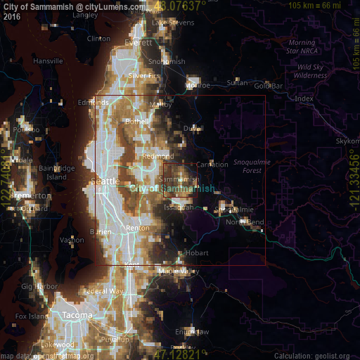
Analysis of City of Sammamish night lights 2016
Square area 10x10 km:
 0.99%
0.99%90-99
1.14%80-89
3.41%70-79
4.69%60-69
8.1%50-59
13.35%40-49
18.32%30-39
18.04%20-29
18.04%10-19
10.65%0-9
3.27%Square area 50x50 km:
10.57%90-99
8.55%80-89
3.05%70-79
4.01%60-69
6.17%50-59
4.17%40-49
4.46%30-39
4.59%20-29
3.88%10-19
4.77%0-9
45.78%Clear (daylight) street map image can be seen on geolist.org.
Map coordinates:
48° 4' 34.9" North, 122° 44' 26.9" West
47° 36' 16" North, 122° 2' 15.6" West
47° 7' 41.6" North, 121° 20' 4.4" West
Some cities around City of Sammamish sort by population:
• Bellevue
12.2 km =7.6 mi,  273°
273°
• Redmond
10 km =6.2 mi,  320°
320°
• Sammamish
5.2 km =3.2 mi, 322°
• Issaquah
8.3 km =5.2 mi,  177°
177°
• West Lake Sammamish
5.6 km =3.5 mi,  237°
237°
• Union Hill-Novelty Hill
8.3 km =5.2 mi,  4°
4°
• Newcastle
11.5 km =7.1 mi,  230°
230°
• Klahanie
4.3 km =2.7 mi,  149°
149°
7174365 (p: 45,780)
Sources (retrieved 2019-11-25):
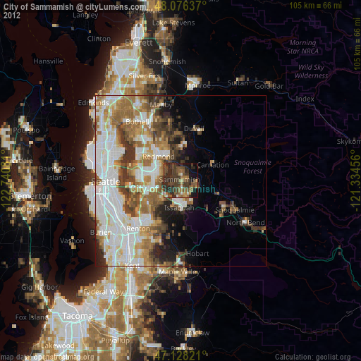
» Earth at Night: Flat Maps 2012, 2016