Redmond night lights from space
Night Light of Redmond (Washington) from space (United States) Src. Average luminocity for 10x10km area is 67.9598% and for 50x50km: 39.6075%.
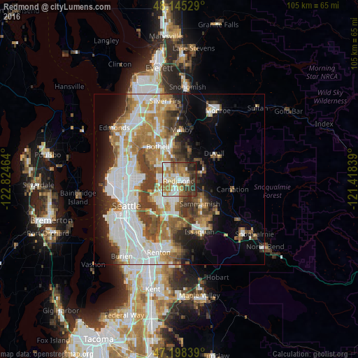
Analysis of Redmond night lights 2016
Square area 10x10 km:
 13.99%
90-99
16.07%80-89
8.04%70-79
11.9%60-69
14.43%50-59
6.4%40-49
9.38%30-39
11.76%20-29
6.7%10-19
1.34%0-9
0%Square area 50x50 km:
10.98%90-99
9.01%80-89
3.14%70-79
4.87%60-69
6.45%50-59
4.46%40-49
4.98%30-39
4.98%20-29
4.89%10-19
7.55%0-9
38.69%Clear (daylight) street map image can be seen on geolist.org.
Map coordinates:
48° 8' 43" North, 122° 49' 28.7" West
47° 40' 26.4" North, 122° 7' 17.4" West
47° 11' 54.2" North, 121° 25' 6.2" West
Some cities around Redmond sort by population:
• Bellevue
9.2 km =5.7 mi,  219°
219°
• Kirkland
6.6 km =4.1 mi,  277°
277°
• Sammamish
4.7 km =2.9 mi,  139°
139°
• Inglewood-Finn Hill
9.7 km =6 mi,  302°
302°
• Cottage Lake
8.5 km =5.3 mi,  22°
22°
• Union Hill-Novelty Hill
7 km =4.3 mi,  85°
85°
• Kingsgate
7.3 km =4.5 mi,  323°
323°
• Woodinville
9.5 km =5.9 mi,  340°
340°
5808079 (p: 60,598)
Sources (retrieved 2019-11-25):
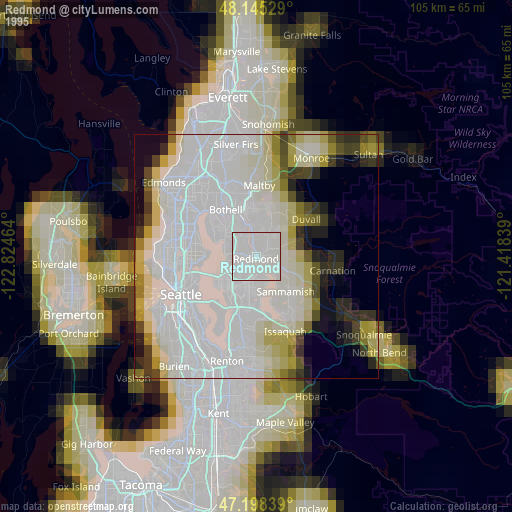
» NASA, Earths city lights 1995
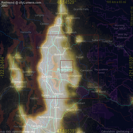
» NASA city lights 2003
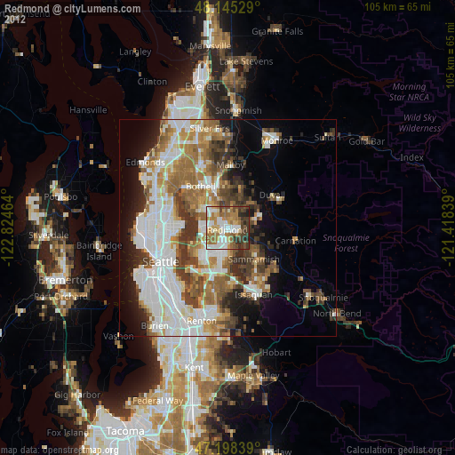
» Earth at Night: Flat Maps 2012, 2016