Tucumcari night lights from space
Night Light of Tucumcari (New Mexico) from space (United States) Src. Average luminocity for 10x10km area is 26.4843% and for 50x50km: 1.2728%.
Analysis of Tucumcari night lights 2016
Square area 10x10 km:
 3.15%
3.15%90-99
3.5%80-89
3.85%70-79
4.72%60-69
4.02%50-59
1.4%40-49
4.02%30-39
4.72%20-29
2.45%10-19
26.57%0-9
41.61%Square area 50x50 km:
0.13%90-99
0.14%80-89
0.15%70-79
0.22%60-69
0.16%50-59
0.08%40-49
0.19%30-39
0.27%20-29
0.15%10-19
1.14%0-9
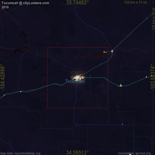
97.36%Clear (daylight) street map image can be seen on geolist.org.
Map coordinates:
35° 44' 40.7" North, 104° 25' 48" West
35° 10' 18.9" North, 103° 43' 36.7" West
34° 35' 42.5" North, 103° 1' 25.5" West
Some cities around Tucumcari sort by population:
• Amarillo
172.3 km =107.1 mi,  88°
88°
• Clovis
97.7 km =60.7 mi,  150°
150°
• Hereford
127.3 km =79.1 mi,  108°
108°
• Canyon
165.9 km =103.1 mi,  97°
97°
• Las Vegas
143.6 km =89.2 mi,  289°
289°
• Portales
115.3 km =71.6 mi,  161°
161°
• Dalhart
147.6 km =91.7 mi,  48°
48°
• Muleshoe
139.5 km =86.7 mi,  138°
138°
5495360 (p: 5,025)
Sources (retrieved 2019-11-25):
» Earth at Night: Flat Maps 2012, 2016