Las Vegas night lights from space
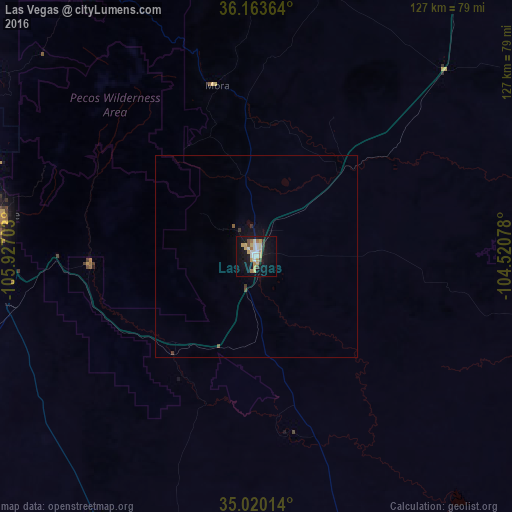
Night Light of Las Vegas (New Mexico) from space (United States) Src. Average luminocity for 10x10km area is 27.8357% and for 50x50km: 1.3327%.
Analysis of Las Vegas night lights 2016
Square area 10x10 km:
 3.67%
3.67%90-99
5.42%80-89
5.59%70-79
4.55%60-69
3.85%50-59
0.7%40-49
2.1%30-39
1.4%20-29
1.22%10-19
29.9%0-9
41.61%Square area 50x50 km:
0.15%90-99
0.22%80-89
0.22%70-79
0.18%60-69
0.15%50-59
0.06%40-49
0.14%30-39
0.17%20-29
0.05%10-19
1.37%0-9
97.29%Clear (daylight) street map image can be seen on geolist.org.
Map coordinates:
36° 9' 49.1" North, 105° 55' 37.3" West
35° 35' 38.1" North, 105° 13' 26" West
35° 1' 12.5" North, 104° 31' 14.8" West
Some cities around Las Vegas sort by population:
• Enchanted Hills
127.2 km =79 mi,  257°
257°
• Santa Fe
65.3 km =40.6 mi,  279°
279°
• Los Alamos
103.1 km =64.1 mi,  288°
288°
• Española
89 km =55.3 mi,  299°
299°
• Bernalillo
124.6 km =77.4 mi,  254°
254°
• Eldorado at Santa Fe
64.7 km =40.2 mi, 263°
• Taos
95.7 km =59.5 mi,  340°
340°
• White Rock
92.2 km =57.3 mi, 286°
5475433 (p: 13,386)
Sources (retrieved 2019-11-25):
» Earth at Night: Flat Maps 2012, 2016