Clovis night lights from space
Night Light of Clovis (New Mexico) from space (United States) Src. Average luminocity for 10x10km area is 57.2448% and for 50x50km: 6.5249%.
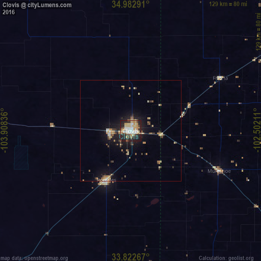
Analysis of Clovis night lights 2016
Square area 10x10 km:
 11.54%
90-99
11.36%80-89
12.94%70-79
10.31%60-69
4.72%50-59
2.62%40-49
6.64%30-39
4.2%20-29
23.08%10-19
12.59%0-9
0%Square area 50x50 km:
0.63%90-99
0.65%80-89
1.24%70-79
1.08%60-69
0.81%50-59
0.59%40-49
1%30-39
0.78%20-29
1.66%10-19
5.18%0-9
86.38%Clear (daylight) street map image can be seen on geolist.org.
Map coordinates:
34° 58' 58.5" North, 103° 54' 30.1" West
34° 24' 17.3" North, 103° 12' 18.8" West
33° 49' 21.6" North, 102° 30' 7.6" West
Some cities around Clovis sort by population:
• Plainview
139.8 km =86.9 mi,  100°
100°
• Hereford
86.7 km =53.9 mi,  58°
58°
• Canyon
133.9 km =83.2 mi, 61°
• Levelland
118.6 km =73.7 mi,  140°
140°
• Portales
27 km =16.8 mi,  206°
206°
• Littlefield
97.5 km =60.6 mi,  123°
123°
• Muleshoe
48.5 km =30.1 mi,  114°
114°
• Tucumcari
97.7 km =60.7 mi,  330°
330°
5462393 (p: 39,480)
Sources (retrieved 2019-11-25):
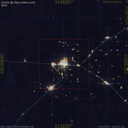
» Earth at Night: Flat Maps 2012, 2016