Scottdale night lights from space
Night Light of Scottdale (Georgia) from space (United States) Src. Average luminocity for 10x10km area is 96.1853% and for 50x50km: 87.3536%.
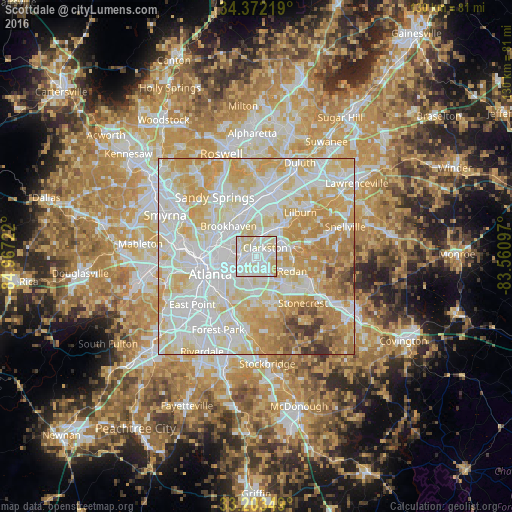
Analysis of Scottdale night lights 2016
Square area 10x10 km:
 38.46%
90-99
46.5%80-89
14.69%70-79
0.35%60-69
0%50-59
0%40-49
0%30-39
0%20-29
0%10-19
0%0-9
0%Square area 50x50 km:
29.09%90-99
25.55%80-89
18.73%70-79
14.73%60-69
6.7%50-59
2.09%40-49
1.74%30-39
1.31%20-29
0.07%10-19
0%0-9
0%Clear (daylight) street map image can be seen on geolist.org.
Map coordinates:
34° 22' 19.9" North, 84° 58' 2" West
33° 47' 23.4" North, 84° 15' 50.7" West
33° 12' 12.6" North, 83° 33' 39.5" West
Some cities around Scottdale sort by population:
• Tucker
8.4 km =5.2 mi,  31°
31°
• Candler-McAfee
7.1 km =4.4 mi,  186°
186°
• Decatur
3.4 km =2.1 mi,  240°
240°
• North Druid Hills
5.4 km =3.4 mi,  303°
303°
• North Decatur
3.9 km =2.4 mi,  270°
270°
• Belvedere Park
3.9 km =2.4 mi,  184°
184°
• Druid Hills
6.7 km =4.2 mi,  261°
261°
• Clarkston
3.1 km =1.9 mi,  45°
45°
4221732 (p: 10,631)
Sources (retrieved 2019-11-25):
» Earth at Night: Flat Maps 2012, 2016