Clarkston night lights from space
Night Light of Clarkston (Georgia) from space (United States) Src. Average luminocity for 10x10km area is 95.236% and for 50x50km: 86.9539%.
Analysis of Clarkston night lights 2016
Square area 10x10 km:
 38.11%
90-99
38.99%80-89
20.98%70-79
1.92%60-69
0%50-59
0%40-49
0%30-39
0%20-29
0%10-19
0%0-9
0%Square area 50x50 km:
28.34%90-99
24.99%80-89
18.43%70-79
16.23%60-69
6.76%50-59
1.98%40-49
1.79%30-39
1.13%20-29
0.35%10-19
0%0-9
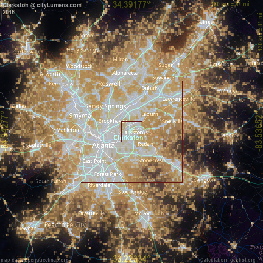
0%Clear (daylight) street map image can be seen on geolist.org.
Map coordinates:
34° 23' 30.4" North, 84° 56' 34" West
33° 48' 34.4" North, 84° 14' 22.7" West
33° 13' 24" North, 83° 32' 11.5" West
Some cities around Clarkston sort by population:
• Tucker
5.4 km =3.4 mi,  22°
22°
• Decatur
6.5 km =4 mi,  233°
233°
• North Druid Hills
6.8 km =4.2 mi,  276°
276°
• North Decatur
6.5 km =4 mi,  250°
250°
• Belvedere Park
6.6 km =4.1 mi,  202°
202°
• Druid Hills
9.5 km =5.9 mi, 249°
• Scottdale
3.1 km =1.9 mi, 225°
• Stone Mountain
6.4 km =4 mi,  91°
91°
4188233 (p: 12,215)
Sources (retrieved 2019-11-25):
» Earth at Night: Flat Maps 2012, 2016