Albany night lights from space
Night Light of Albany (New York) from space (United States) Src. Average luminocity for 10x10km area is 79.8227% and for 50x50km: 21.8752%.
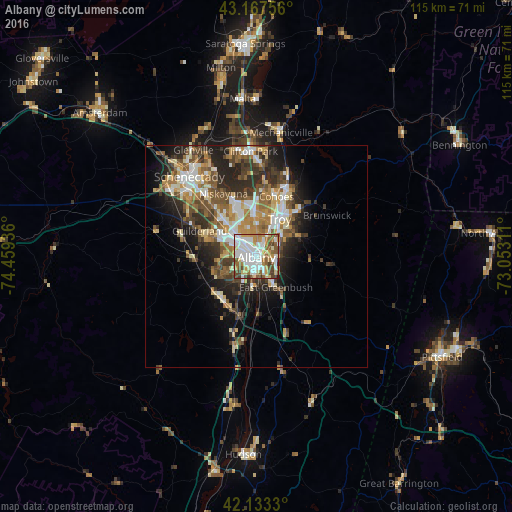
Analysis of Albany night lights 2016
Square area 10x10 km:
 25.45%
90-99
22.42%80-89
10.45%70-79
9.85%60-69
7.27%50-59
11.52%40-49
9.55%30-39
3.03%20-29
0.3%10-19
0.15%0-9
0%Square area 50x50 km:
3.52%90-99
3.94%80-89
2.66%70-79
2.83%60-69
3.01%50-59
3.8%40-49
3.74%30-39
3.74%20-29
6.09%10-19
7.64%0-9
59.04%Clear (daylight) street map image can be seen on geolist.org.
Map coordinates:
43° 10' 3.2" North, 74° 27' 33.7" West
42° 39' 9.3" North, 73° 45' 22.4" West
42° 7' 59.9" North, 73° 3' 11.2" West
Some cities around Albany sort by population:
• West Albany
3.9 km =2.4 mi,  331°
331°
• Troy
9.9 km =6.2 mi,  31°
31°
• Roessleville
6.3 km =3.9 mi,  318°
318°
• Watervliet
9.7 km =6 mi, 27°
• Rensselaer
1.6 km =1 mi,  135°
135°
• Delmar
7.1 km =4.4 mi,  241°
241°
• Colonie
9.6 km =6 mi, 318°
• Westmere
10.1 km =6.3 mi,  295°
295°
5106834 (p: 98,469)
Sources (retrieved 2019-11-25):
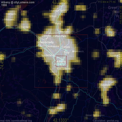
» NASA, Earths city lights 1995
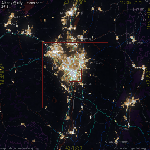
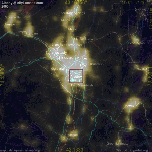
» NASA city lights 2003
» Earth at Night: Flat Maps 2012, 2016