Tooele night lights from space
Night Light of Tooele (Utah) from space (United States) Src. Average luminocity for 10x10km area is 29.8656% and for 50x50km: 10.1322%.
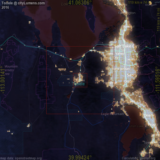
Analysis of Tooele night lights 2016
Square area 10x10 km:
 1.87%
1.87%90-99
2.21%80-89
4.42%70-79
6.12%60-69
5.78%50-59
6.12%40-49
8.16%30-39
2.72%20-29
2.04%10-19
27.21%0-9
33.33%Square area 50x50 km:
1.03%90-99
1.5%80-89
1.88%70-79
1.69%60-69
1.67%50-59
1.41%40-49
1.32%30-39
1.3%20-29
2.16%10-19
4.77%0-9
81.26%Clear (daylight) street map image can be seen on geolist.org.
Map coordinates:
41° 3' 47" North, 113° 0' 5.1" West
40° 31' 50.8" North, 112° 17' 53.8" West
39° 59' 39.3" North, 111° 35' 42.6" West
Some cities around Tooele sort by population:
• Riverton
30.4 km =18.9 mi,  91°
91°
• South Jordan Heights
29.7 km =18.5 mi,  82°
82°
• Kearns
29.3 km =18.2 mi,  60°
60°
• Herriman
22.5 km =14 mi, 94°
• Magna
25.9 km =16.1 mi,  39°
39°
• Oquirrh
24.9 km =15.5 mi, 63°
• Grantsville
16 km =9.9 mi,  298°
298°
• Stansbury park
11.9 km =7.4 mi,  0°
0°
5783695 (p: 33,157)
Sources (retrieved 2019-11-25):
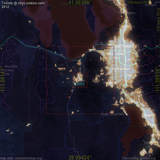
» Earth at Night: Flat Maps 2012, 2016