Herriman night lights from space
Night Light of Herriman (Utah) from space (United States) Src. Average luminocity for 10x10km area is 55.2721% and for 50x50km: 34.8269%.
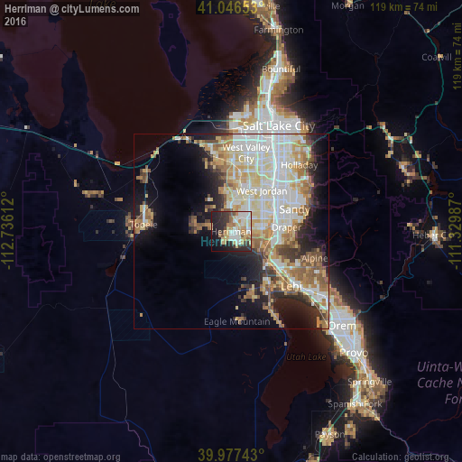
Analysis of Herriman night lights 2016
Square area 10x10 km:
 9.86%
9.86%90-99
13.95%80-89
10.37%70-79
9.01%60-69
5.61%50-59
3.74%40-49
3.91%30-39
7.99%20-29
14.8%10-19
17.86%0-9
2.89%Square area 50x50 km:
7.93%90-99
8.15%80-89
5.91%70-79
4.32%60-69
4.32%50-59
4.49%40-49
2.74%30-39
2.9%20-29
5.39%10-19
8.92%0-9
44.92%Clear (daylight) street map image can be seen on geolist.org.
Map coordinates:
41° 2' 47.5" North, 112° 44' 10" West
40° 30' 50.8" North, 112° 1' 58.8" West
39° 58' 38.7" North, 111° 19' 47.5" West
Some cities around Herriman sort by population:
• West Jordan
13.3 km =8.3 mi,  36°
36°
• Sandy
15.2 km =9.4 mi,  55°
55°
• South Jordan
10.2 km =6.3 mi, 58°
• Draper
14.3 km =8.9 mi,  85°
85°
• Riverton
8 km =5 mi,  83°
83°
• South Jordan Heights
9 km =5.6 mi,  51°
51°
• Oquirrh
12.9 km =8 mi,  359°
359°
• Bluffdale
8.4 km =5.2 mi,  108°
108°
5775782 (p: 30,835)
Sources (retrieved 2019-11-25):
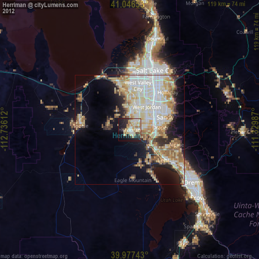
» Earth at Night: Flat Maps 2012, 2016