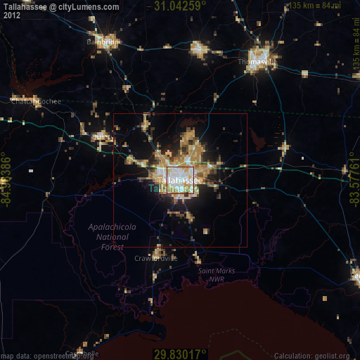
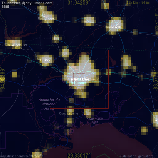
Tallahassee night lights from space
Night Light of Tallahassee (Florida) from space (United States) Src. Average luminocity for 10x10km area is 90.881% and for 50x50km: 15.4833%.


Analysis of Tallahassee night lights 2016
Square area 10x10 km:
 41.03%
90-99
27.47%80-89
9.71%70-79
12.64%60-69
6.96%50-59
1.83%40-49
0.18%30-39
0.18%20-29
0%10-19
0%0-9
0%Square area 50x50 km:
2.54%90-99
2.05%80-89
0.79%70-79
3.17%60-69
4.21%50-59
1.59%40-49
1.87%30-39
2.4%20-29
3.63%10-19
6.91%0-9
70.83%Clear (daylight) street map image can be seen on geolist.org.
Map coordinates:
31° 2' 33.3" North, 84° 59' 1.9" West
30° 26' 17.7" North, 84° 16' 50.6" West
29° 49' 48.6" North, 83° 34' 39.4" West
Some cities around Tallahassee sort by population:
• Thomasville
52.9 km =32.9 mi,  33°
33°
• Moultrie
94.9 km =59 mi, 29°
• Bainbridge
58.9 km =36.6 mi,  331°
331°
• Cairo
49.4 km =30.7 mi,  8°
8°
• Marianna
98 km =60.9 mi,  292°
292°
• Quincy
33.4 km =20.8 mi,  299°
299°
• Perry
75.9 km =47.2 mi,  118°
118°
• Camilla
88.4 km =54.9 mi,  4°
4°
4174715 (p: 189,907)
Sources (retrieved 2019-11-25):
» NASA, Earths city lights 1995
» NASA city lights 2003
» Earth at Night: Flat Maps 2012, 2016