Marianna night lights from space
Night Light of Marianna (Florida) from space (United States) Src. Average luminocity for 10x10km area is 36.0157% and for 50x50km: 3.5087%.
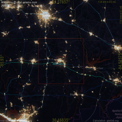
Analysis of Marianna night lights 2016
Square area 10x10 km:
 2.97%
2.97%90-99
2.8%80-89
5.42%70-79
11.54%60-69
4.37%50-59
2.45%40-49
4.72%30-39
6.99%20-29
6.82%10-19
46.5%0-9
5.42%Square area 50x50 km:
0.22%90-99
0.15%80-89
0.27%70-79
0.87%60-69
0.57%50-59
0.37%40-49
0.46%30-39
1%20-29
0.85%10-19
2.64%0-9
92.61%Clear (daylight) street map image can be seen on geolist.org.
Map coordinates:
31° 22' 35.7" North, 85° 55' 48" West
30° 46' 27.7" North, 85° 13' 36.7" West
30° 10' 6.1" North, 84° 31' 25.5" West
Some cities around Marianna sort by population:
• Dothan
52.3 km =32.5 mi,  342°
342°
• Panama City
80 km =49.7 mi,  211°
211°
• Lynn Haven
71.3 km =44.3 mi, 214°
• Callaway
76.5 km =47.5 mi, 205°
• Bainbridge
63.8 km =39.6 mi,  76°
76°
• Springfield
78.3 km =48.7 mi, 208°
• Quincy
65 km =40.4 mi,  108°
108°
• Daleville
75.5 km =46.9 mi,  322°
322°
4163428 (p: 9,100)
Sources (retrieved 2019-11-25):
» Earth at Night: Flat Maps 2012, 2016