Bath Beach night lights from space
Night Light of Bath Beach (New York) from space (United States) Src. Average luminocity for 10x10km area is 79.6705% and for 50x50km: 65.9849%.
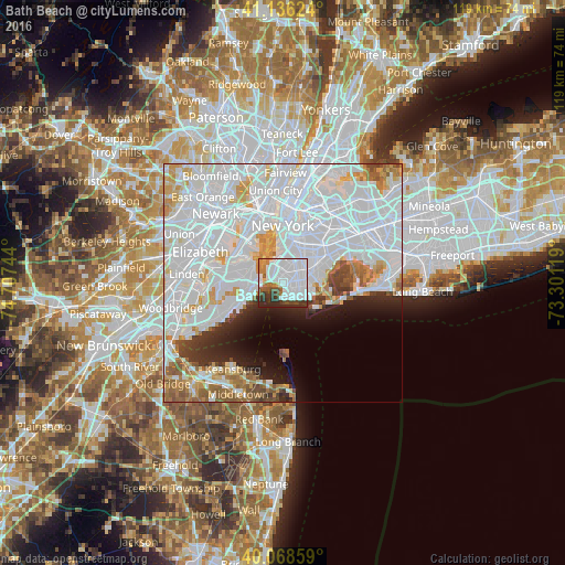
Analysis of Bath Beach night lights 2016
Square area 10x10 km:
 47.24%
90-99
15.75%80-89
1.79%70-79
2.6%60-69
5.68%50-59
5.03%40-49
5.03%30-39
7.95%20-29
8.93%10-19
0%0-9
0%Square area 50x50 km:
37.21%90-99
14.74%80-89
4.13%70-79
4.09%60-69
3.78%50-59
3%40-49
2.29%30-39
2.46%20-29
3.85%10-19
4.92%0-9
19.53%Clear (daylight) street map image can be seen on geolist.org.
Map coordinates:
41° 8' 10.5" North, 74° 42' 26.8" West
40° 36' 16.4" North, 74° 0' 15.5" West
40° 4' 6.9" North, 73° 18' 4.3" West
Some cities around Bath Beach sort by population:
• Borough Park
3.3 km =2.1 mi,  10°
10°
• Sunset Park
4.6 km =2.9 mi,  351°
351°
• Gravesend
3.4 km =2.1 mi,  103°
103°
• Coney Island
3.1 km =1.9 mi,  163°
163°
• Bensonhurst
0.9 km =0.6 mi,  109°
109°
• Dyker Heights
1.9 km =1.2 mi, 346°
• Brighton Beach
4.8 km =3 mi,  128°
128°
• Fort Hamilton
2.9 km =1.8 mi,  302°
302°
5108111 (p: 33,080)
Sources (retrieved 2019-11-25):
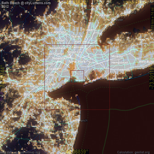
» Earth at Night: Flat Maps 2012, 2016