Bensonhurst night lights from space
Night Light of Bensonhurst (New York) from space (United States) Src. Average luminocity for 10x10km area is 79.5584% and for 50x50km: 64.6887%.
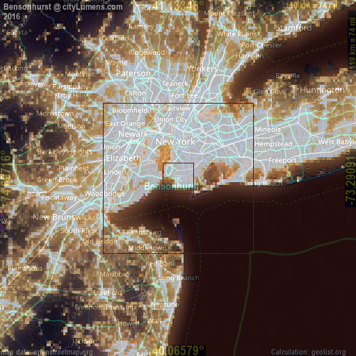
Analysis of Bensonhurst night lights 2016
Square area 10x10 km:
 51.3%
51.3%90-99
15.26%80-89
0.97%70-79
0.97%60-69
3.25%50-59
3.08%40-49
5.36%30-39
7.95%20-29
10.71%10-19
1.14%0-9
0%Square area 50x50 km:
36.78%90-99
14.1%80-89
3.94%70-79
3.89%60-69
3.61%50-59
3.23%40-49
2.33%30-39
2.47%20-29
3.93%10-19
5.03%0-9
20.71%Clear (daylight) street map image can be seen on geolist.org.
Map coordinates:
41° 8' 0.5" North, 74° 41' 49.8" West
40° 36' 6.4" North, 73° 59' 38.5" West
40° 3' 56.8" North, 73° 17' 27.3" West
Some cities around Bensonhurst sort by population:
• Borough Park
3.6 km =2.2 mi,  356°
356°
• Sheepshead Bay
4.3 km =2.7 mi,  105°
105°
• Gravesend
2.5 km =1.6 mi,  100°
100°
• Coney Island
2.7 km =1.7 mi,  180°
180°
• Dyker Heights
2.6 km =1.6 mi,  329°
329°
• Bath Beach
0.9 km =0.6 mi,  289°
289°
• Brighton Beach
3.9 km =2.4 mi,  132°
132°
• Fort Hamilton
3.8 km =2.4 mi,  299°
299°
5108815 (p: 60,000)
Sources (retrieved 2019-11-25):
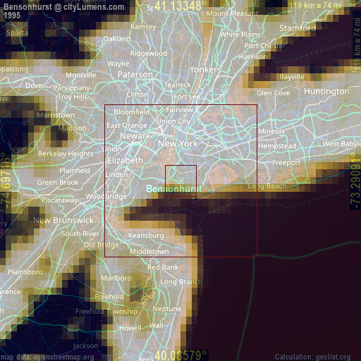
» NASA, Earths city lights 1995
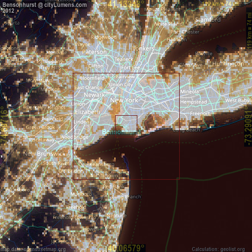
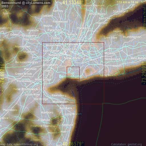
» NASA city lights 2003
» Earth at Night: Flat Maps 2012, 2016