Fort Hamilton night lights from space
Night Light of Fort Hamilton (New York) from space (United States) Src. Average luminocity for 10x10km area is 85.7094% and for 50x50km: 69.0957%.
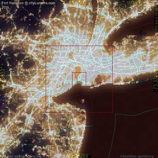
Analysis of Fort Hamilton night lights 2016
Square area 10x10 km:
 42.69%
90-99
22.89%80-89
4.06%70-79
8.12%60-69
8.12%50-59
5.19%40-49
1.95%30-39
6.17%20-29
0.81%10-19
0%0-9
0%Square area 50x50 km:
38.04%90-99
15.81%80-89
5.47%70-79
4.77%60-69
3.79%50-59
2.53%40-49
2.18%30-39
2.48%20-29
3.58%10-19
4.66%0-9
16.69%Clear (daylight) street map image can be seen on geolist.org.
Map coordinates:
41° 9' 1.1" North, 74° 44' 10.8" West
40° 37' 7.4" North, 74° 1' 59.5" West
40° 4' 58.4" North, 73° 19' 48.3" West
Some cities around Fort Hamilton sort by population:
• Borough Park
3.5 km =2.2 mi,  61°
61°
• Sunset Park
3.5 km =2.2 mi,  30°
30°
• Bensonhurst
3.8 km =2.4 mi,  119°
119°
• Dyker Heights
2 km =1.2 mi,  81°
81°
• Bath Beach
2.9 km =1.8 mi, 122°
• Arrochar
4 km =2.5 mi,  235°
235°
• Clifton
3.7 km =2.3 mi,  272°
272°
• Stapleton
3.8 km =2.4 mi,  282°
282°
5117663 (p: 28,966)
Sources (retrieved 2019-11-25):
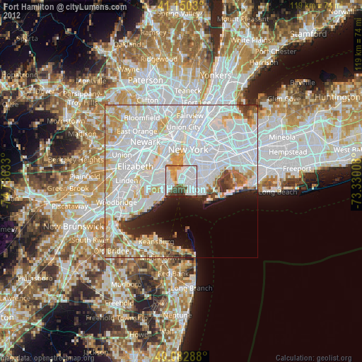
» Earth at Night: Flat Maps 2012, 2016