Sudden Valley night lights from space
Night Light of Sudden Valley (Washington) from space (United States) Src. Average luminocity for 10x10km area is 0.8095% and for 50x50km: 5.0642%.
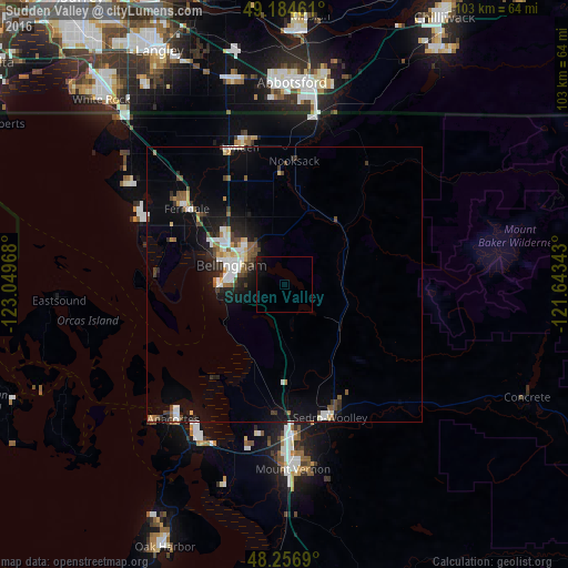
Analysis of Sudden Valley night lights 2016
Square area 10x10 km:
 0%
0%90-99
0%80-89
0%70-79
0%60-69
0%50-59
0%40-49
0%30-39
0%20-29
0%10-19
2.08%0-9
97.92%Square area 50x50 km:
0.83%90-99
0.87%80-89
0.36%70-79
0.35%60-69
0.38%50-59
0.78%40-49
0.76%30-39
0.68%20-29
1.16%10-19
3.84%0-9
89.98%Clear (daylight) street map image can be seen on geolist.org.
Map coordinates:
49° 11' 4.6" North, 123° 2' 58.8" West
48° 43' 22.4" North, 122° 20' 47.6" West
48° 15' 24.8" North, 121° 38' 36.3" West
Some cities around Sudden Valley sort by population:
• Bellingham
11.2 km =7 mi,  291°
291°
• Mount Vernon
33.6 km =20.9 mi,  178°
178°
• Anacortes
30.5 km =19 mi,  219°
219°
• Lynden
26 km =16.2 mi,  342°
342°
• Ferndale
22.6 km =14 mi,  307°
307°
• Sedro-Woolley
25.7 km =16 mi,  161°
161°
• Burlington
27.5 km =17.1 mi, 176°
• Birch Bay
36.3 km =22.6 mi, 306°
5812434 (p: 6,441)
Sources (retrieved 2019-11-25):
» Earth at Night: Flat Maps 2012, 2016