Ferndale night lights from space
Night Light of Ferndale (Washington) from space (United States) Src. Average luminocity for 10x10km area is 15.8722% and for 50x50km: 10.9296%.
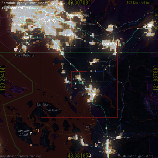
Analysis of Ferndale night lights 2016
Square area 10x10 km:
 1.14%
1.14%90-99
1.14%80-89
0.57%70-79
2.13%60-69
2.13%50-59
4.4%40-49
2.84%30-39
2.56%20-29
1.14%10-19
11.79%0-9
70.17%Square area 50x50 km:
2.28%90-99
2.27%80-89
0.86%70-79
0.88%60-69
0.88%50-59
1.07%40-49
1.25%30-39
1.43%20-29
3.01%10-19
7.13%0-9
78.93%Clear (daylight) street map image can be seen on geolist.org.
Map coordinates:
49° 18' 25.5" North, 123° 17' 38.9" West
48° 50' 47.4" North, 122° 35' 27.6" West
48° 22' 53.9" North, 121° 53' 16.4" West
Some cities around Ferndale sort by population:
• Bellingham
12.3 km =7.6 mi,  142°
142°
• White Rock, CA
24.4 km =15.2 mi,  320°
320°
• Langley, CA
28.7 km =17.8 mi,  350°
350°
• Lynden
15.1 km =9.4 mi,  42°
42°
• Aldergrove, CA
25.1 km =15.6 mi,  20°
20°
• Birch Bay
13.8 km =8.6 mi,  305°
305°
• Sudden Valley
22.6 km =14 mi,  127°
127°
• Blaine
20 km =12.4 mi,  325°
325°
5794276 (p: 13,010)
Sources (retrieved 2019-11-25):
» Earth at Night: Flat Maps 2012, 2016