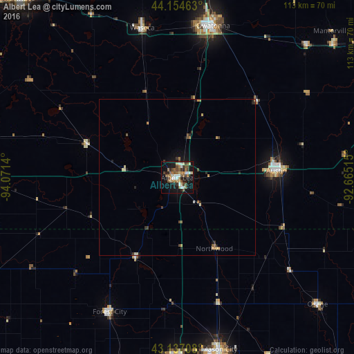
Albert Lea night lights from space
Night Light of Albert Lea (Minnesota) from space (United States) Src. Average luminocity for 10x10km area is 35.1924% and for 50x50km: 2.4793%.
Analysis of Albert Lea night lights 2016
Square area 10x10 km:
 4.55%
4.55%90-99
5.15%80-89
4.39%70-79
3.33%60-69
7.42%50-59
7.42%40-49
5.91%30-39
2.73%20-29
6.52%10-19
31.67%0-9
20.91%Square area 50x50 km:
0.2%90-99
0.25%80-89
0.33%70-79
0.38%60-69
0.41%50-59
0.4%40-49
0.41%30-39
0.3%20-29
0.44%10-19
1.87%0-9
94.99%Clear (daylight) street map image can be seen on geolist.org.
Map coordinates:
44° 9' 16.7" North, 94° 4' 17" West
43° 38' 52.8" North, 93° 22' 5.8" West
43° 8' 13.5" North, 92° 39' 54.5" West
Some cities around Albert Lea sort by population:
• Mason City
56.6 km =35.2 mi,  166°
166°
• Owatonna
49.8 km =30.9 mi,  13°
13°
• Austin
31.7 km =19.7 mi,  86°
86°
• Faribault
72.4 km =45 mi, 6°
• Waseca
49.1 km =30.5 mi,  346°
346°
• Clear Lake
56.7 km =35.2 mi,  180°
180°
• Kasson
65.2 km =40.5 mi,  49°
49°
• Byron
72 km =44.7 mi, 53°
5016024 (p: 17,674)
Sources (retrieved 2019-11-25):
» Earth at Night: Flat Maps 2012, 2016