Edwards night lights from space
Night Light of Edwards (Colorado) from space (United States) Src. Average luminocity for 10x10km area is 7.3815% and for 50x50km: 1.0419%.
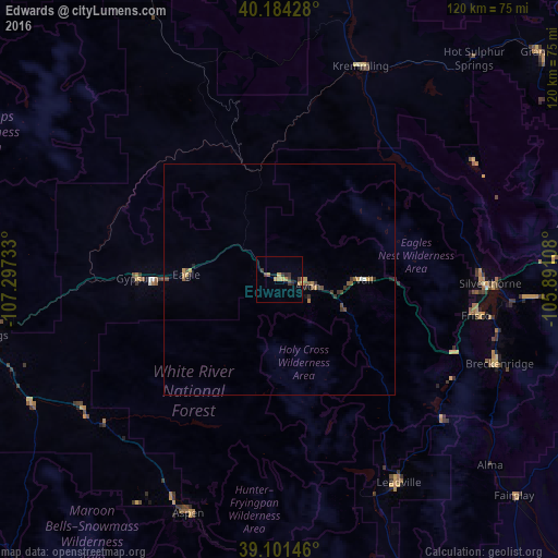
Analysis of Edwards night lights 2016
Square area 10x10 km:
 0%
0%90-99
0%80-89
0.65%70-79
3.08%60-69
0.97%50-59
0.49%40-49
0.97%30-39
3.73%20-29
1.14%10-19
0%0-9
88.96%Square area 50x50 km:
0.01%90-99
0.04%80-89
0.11%70-79
0.26%60-69
0.15%50-59
0.21%40-49
0.19%30-39
0.4%20-29
0.2%10-19
0.07%0-9
98.36%Clear (daylight) street map image can be seen on geolist.org.
Map coordinates:
40° 11' 3.4" North, 107° 17' 50.4" West
39° 38' 42" North, 106° 35' 39.1" West
39° 6' 5.3" North, 105° 53' 27.9" West
Some cities around Edwards sort by population:
• Steamboat Springs
95.6 km =59.4 mi,  347°
347°
• Glenwood Springs
63.5 km =39.5 mi,  260°
260°
• Gypsum
30.6 km =19 mi,  270°
270°
• Aspen
54 km =33.6 mi,  200°
200°
• Eagle
20.1 km =12.5 mi, 273°
• Carbondale
59.4 km =36.9 mi,  242°
242°
• Avon
6.3 km =3.9 mi,  103°
103°
• Vail
18.8 km =11.7 mi,  91°
91°
5420885 (p: 10,266)
Sources (retrieved 2019-11-25):
» Earth at Night: Flat Maps 2012, 2016