Vail night lights from space
Night Light of Vail (Colorado) from space (United States) Src. Average luminocity for 10x10km area is 5.8068% and for 50x50km: 1.3919%.
Analysis of Vail night lights 2016
Square area 10x10 km:
 0.32%
0.32%90-99
0.97%80-89
0.81%70-79
0.49%60-69
0.97%50-59
1.62%40-49
0.49%30-39
1.46%20-29
0.81%10-19
0.32%0-9
91.72%Square area 50x50 km:
0.01%90-99
0.04%80-89
0.19%70-79
0.3%60-69
0.27%50-59
0.25%40-49
0.18%30-39
0.58%20-29
0.18%10-19
0.16%0-9
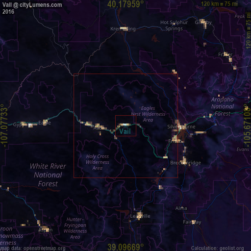
97.84%Clear (daylight) street map image can be seen on geolist.org.
Map coordinates:
40° 10' 46.5" North, 107° 4' 38.4" West
39° 38' 24.9" North, 106° 22' 27.1" West
39° 5' 48.1" North, 105° 40' 15.9" West
Some cities around Vail sort by population:
• Edwards
18.8 km =11.7 mi,  271°
271°
• Glenwood Springs
82.1 km =51 mi,  263°
263°
• Evergreen
90.5 km =56.2 mi,  90°
90°
• Gypsum
49.5 km =30.8 mi, 270°
• Aspen
62.8 km =39 mi,  217°
217°
• Eagle
38.9 km =24.2 mi, 272°
• Carbondale
76.5 km =47.5 mi,  249°
249°
• Avon
12.7 km =7.9 mi, 265°
5442727 (p: 5,461)
Sources (retrieved 2019-11-25):
» Earth at Night: Flat Maps 2012, 2016