Avon night lights from space
Night Light of Avon (Colorado) from space (United States) Src. Average luminocity for 10x10km area is 9.2013% and for 50x50km: 0.889%.
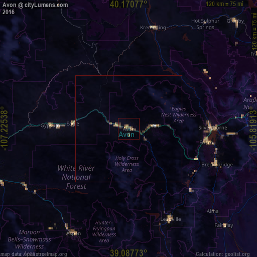
Analysis of Avon night lights 2016
Square area 10x10 km:
 0%
0%90-99
0%80-89
0.16%70-79
3.08%60-69
1.95%50-59
1.79%40-49
1.46%30-39
4.06%20-29
1.79%10-19
0.65%0-9
85.06%Square area 50x50 km:
0.01%90-99
0.04%80-89
0.07%70-79
0.22%60-69
0.13%50-59
0.17%40-49
0.15%30-39
0.42%20-29
0.17%10-19
0.07%0-9
98.57%Clear (daylight) street map image can be seen on geolist.org.
Map coordinates:
40° 10' 14.8" North, 107° 13' 31.4" West
39° 37' 52.9" North, 106° 31' 20.1" West
39° 5' 15.8" North, 105° 49' 8.9" West
Some cities around Avon sort by population:
• Steamboat Springs
98.5 km =61.2 mi,  344°
344°
• Edwards
6.3 km =3.9 mi,  283°
283°
• Glenwood Springs
69.3 km =43.1 mi,  262°
262°
• Gypsum
36.8 km =22.9 mi,  272°
272°
• Aspen
55.1 km =34.2 mi,  207°
207°
• Eagle
26.4 km =16.4 mi, 275°
• Carbondale
64.4 km =40 mi,  246°
246°
• Vail
12.7 km =7.9 mi,  85°
85°
5412396 (p: 6,505)
Sources (retrieved 2019-11-25):
» Earth at Night: Flat Maps 2012, 2016